A list of public and private woods in Didcot
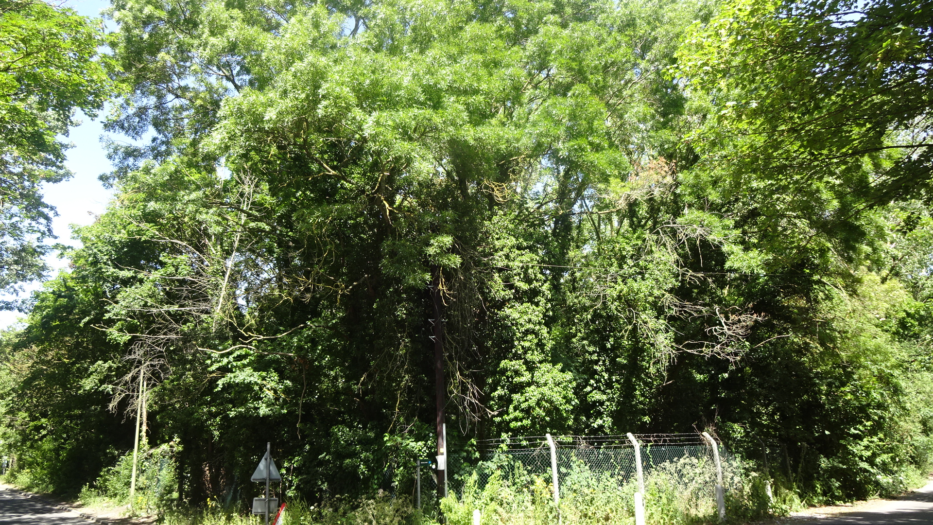
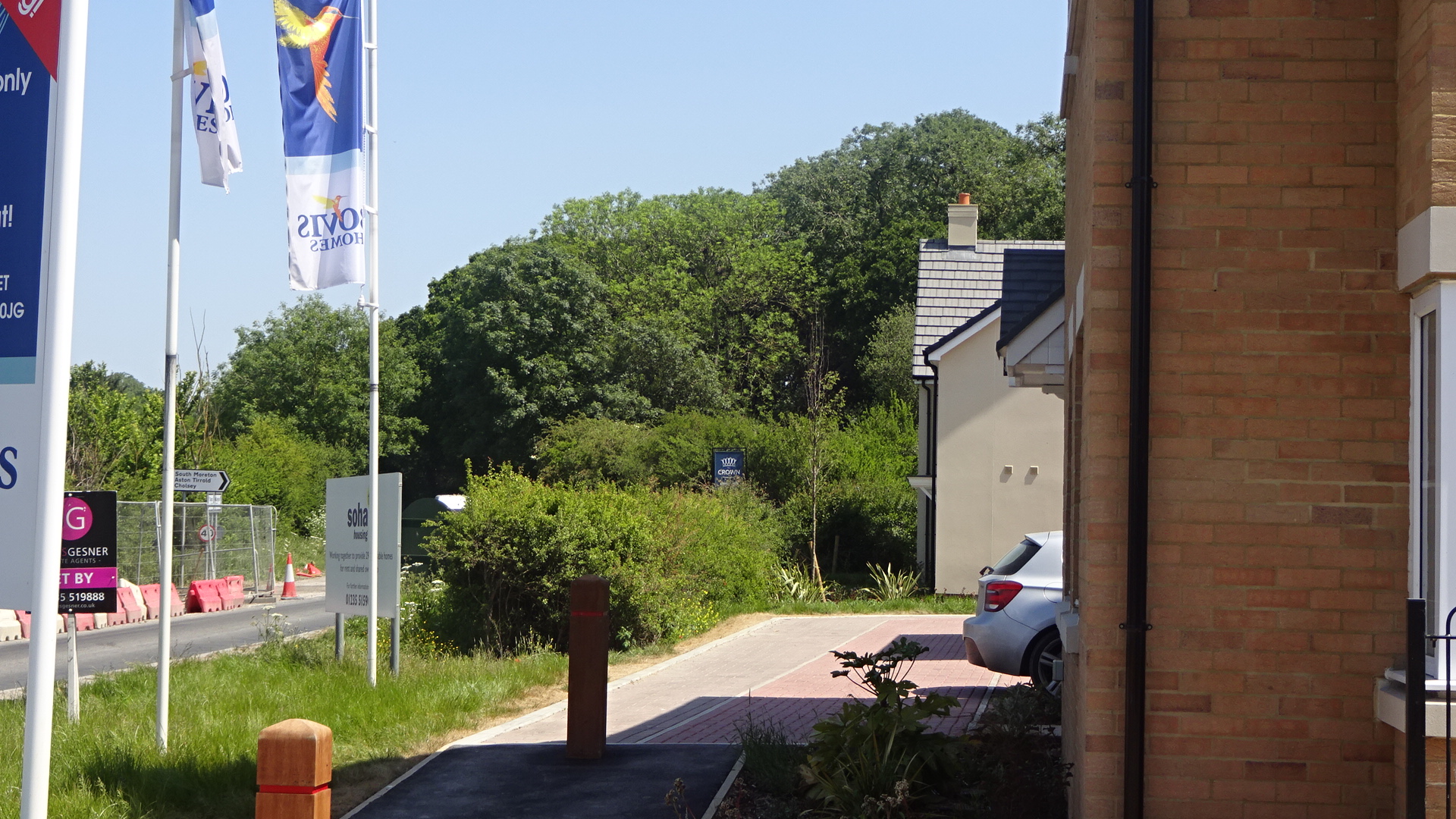
EASTON'S PLANTATION On the other side of the railway bridge at the north end of Foxhall Road, past the entrance to the station car park and over another older bridge over the railway is the inaccessible Easton's Plantation, at the junction of Basil Hill Road and Oxfordshire bridleway 189/26. This wood used to extend much further to the west before it lost to commercial development all but a row of mature trees along Basil Hill Road westwards.
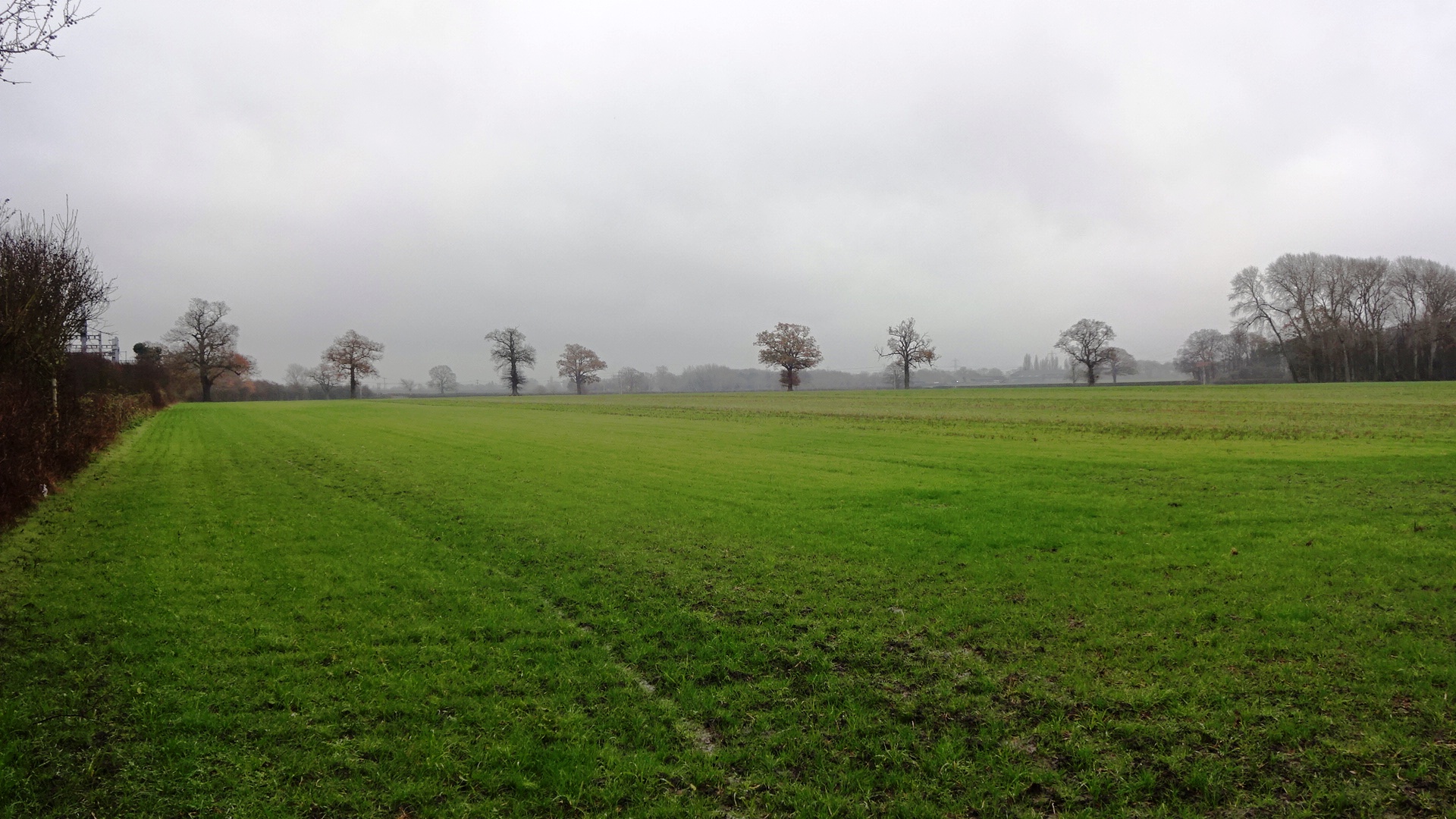
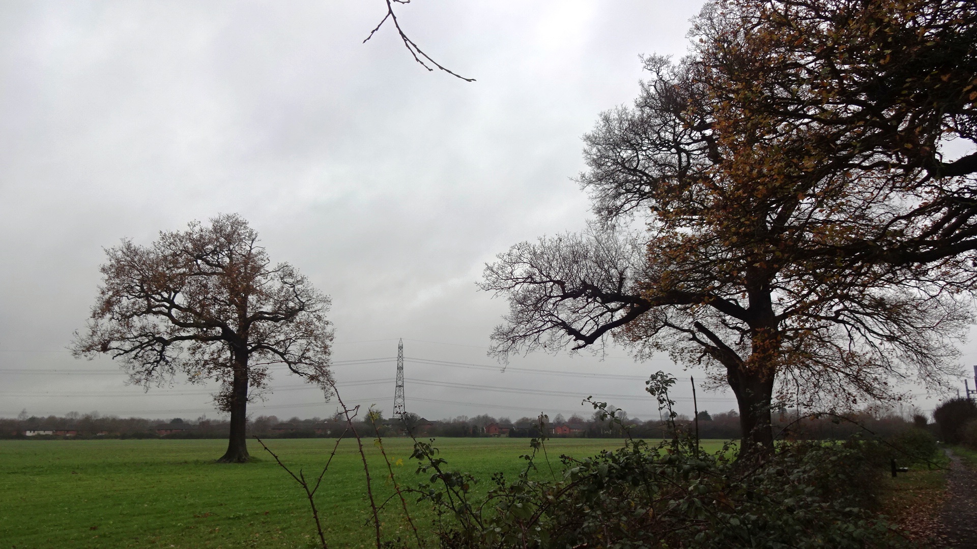
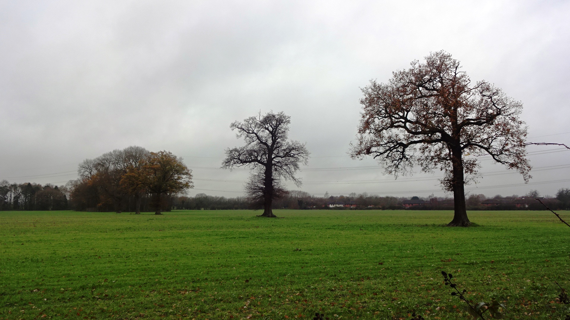
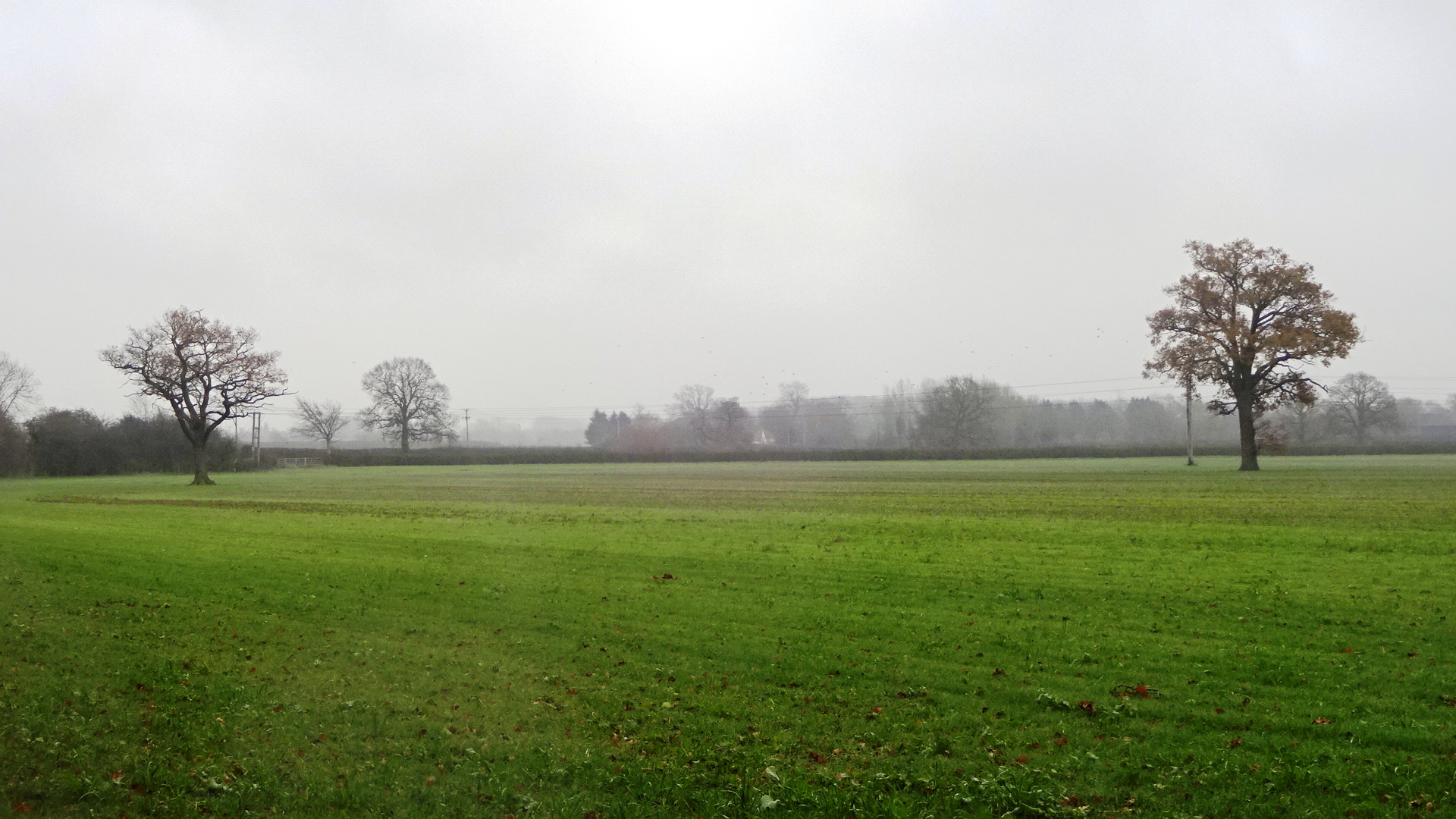
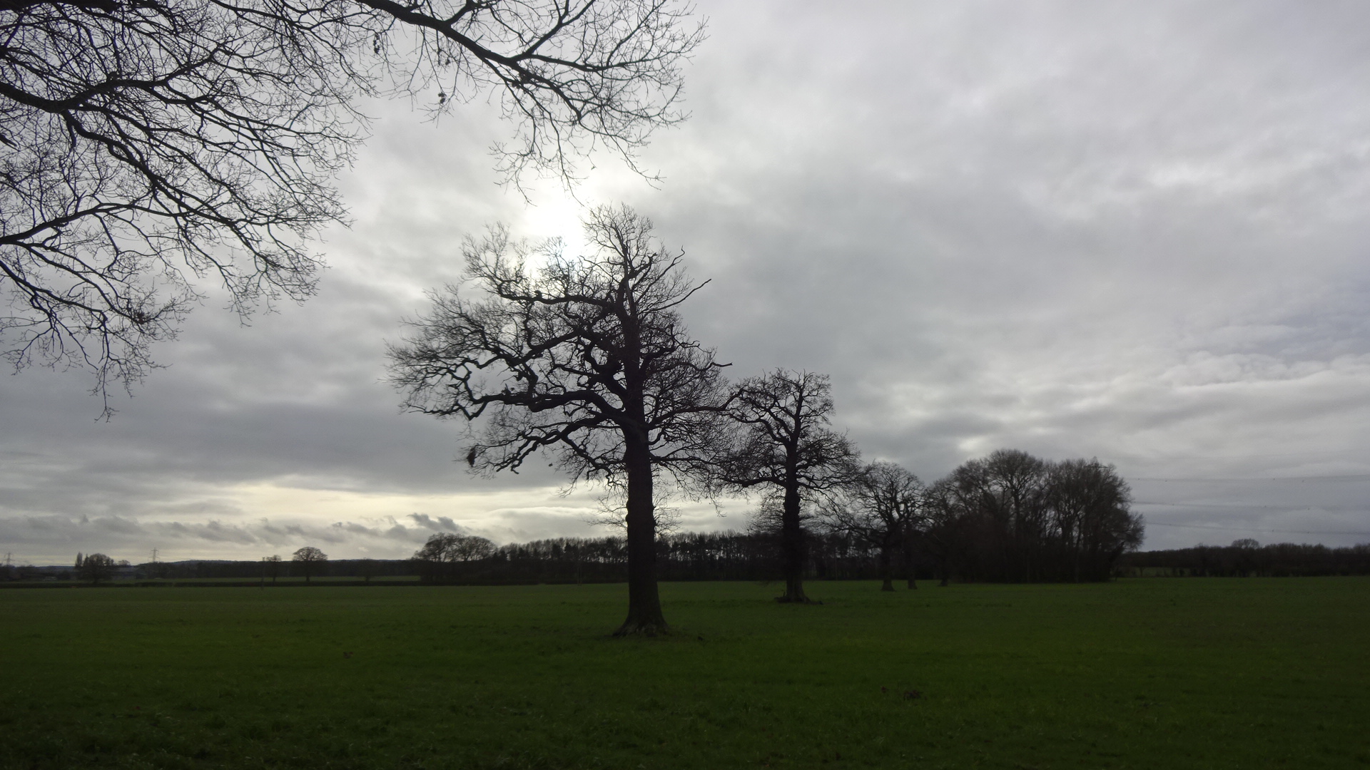
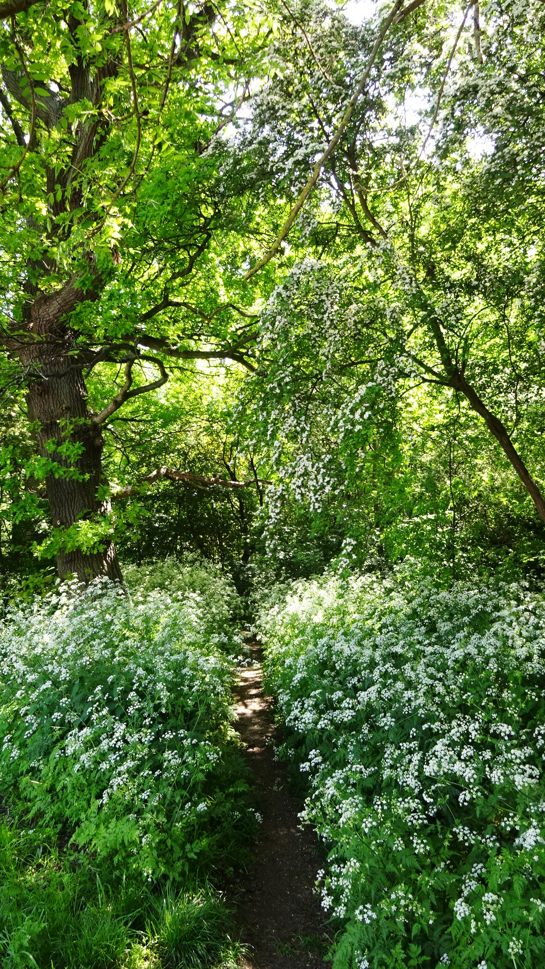
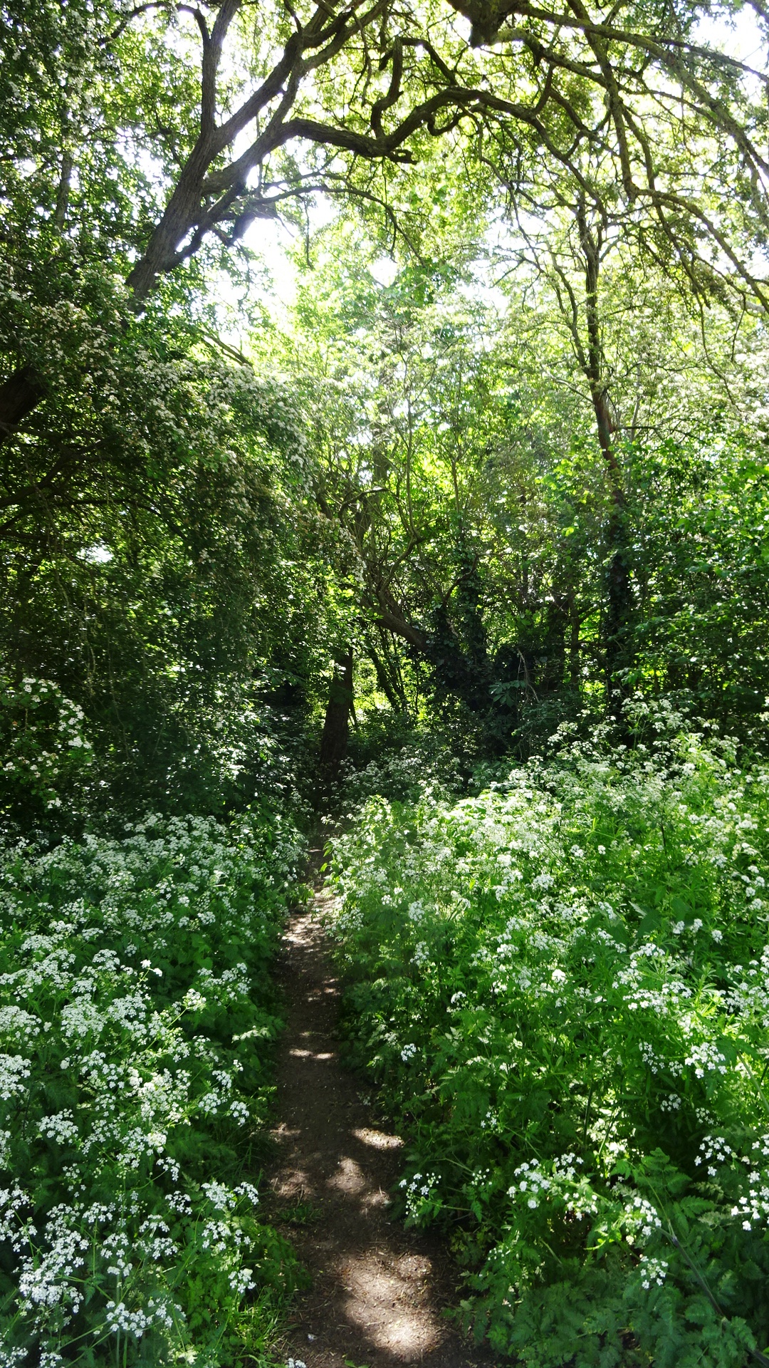
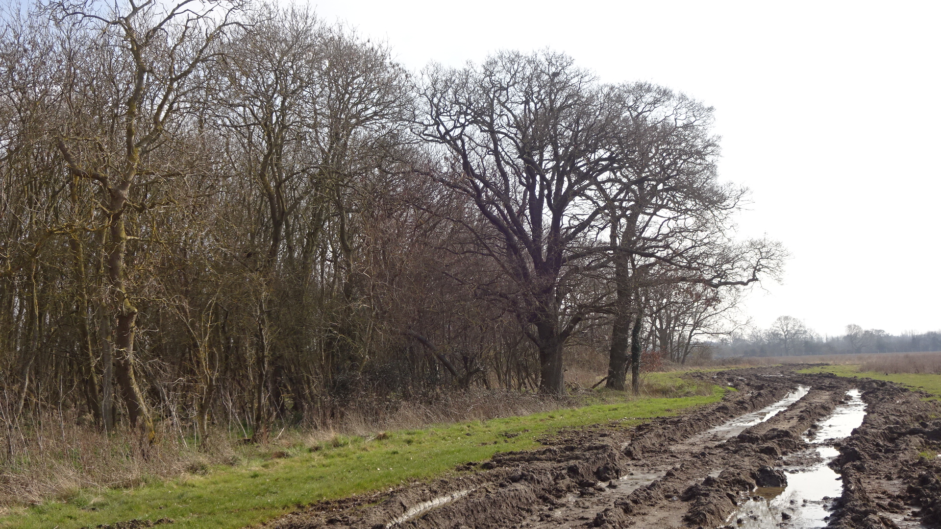
FLEET MEADOW FOOTPATH To walk east on Marsh Lane past Marsh cottages south of the railway towards South Moreton (Oxfordshire footpath 189/12) is to increasingly leave suburbia behind and to step back into a seemingly timeless distant landscape of mature oak trees, woods and fields. In early 2021 a planning application is currently under consideration which could see 325 homes built to the east of Fleet Meadow. However this area borders the North Wessex Downs Area of Outstanding Natural Beauty, which should hopefully limit Didcot's spread in this direction.
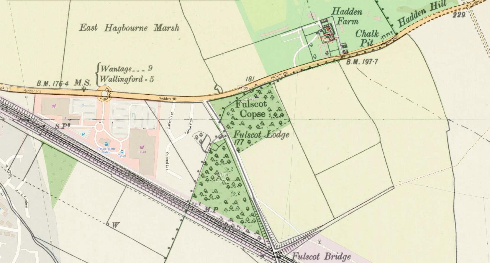
FULSCOT COPSE This private broadleaved woodland consists mainly of poplar, oak, chestnut and elm. It is located on the eastern extremity of Didcot on either side of the road from the A4130 to South Moreton. The western portion is east of Oakend Lea. There is no public access.
FURLONG WOOD To the north of the Furlongs estate, east of the B4016 Abingdon Road lies Furlong Wood. The western part of the wood is at risk from the 'Marsh' / Ladygrove East planning application, as this includes the final extension of the Northern Perimeter Road (A4130) which will provide the main access to the new site as well as relieving traffic congestion around Tesco and the roundabout to the west by Marsh Bridge.
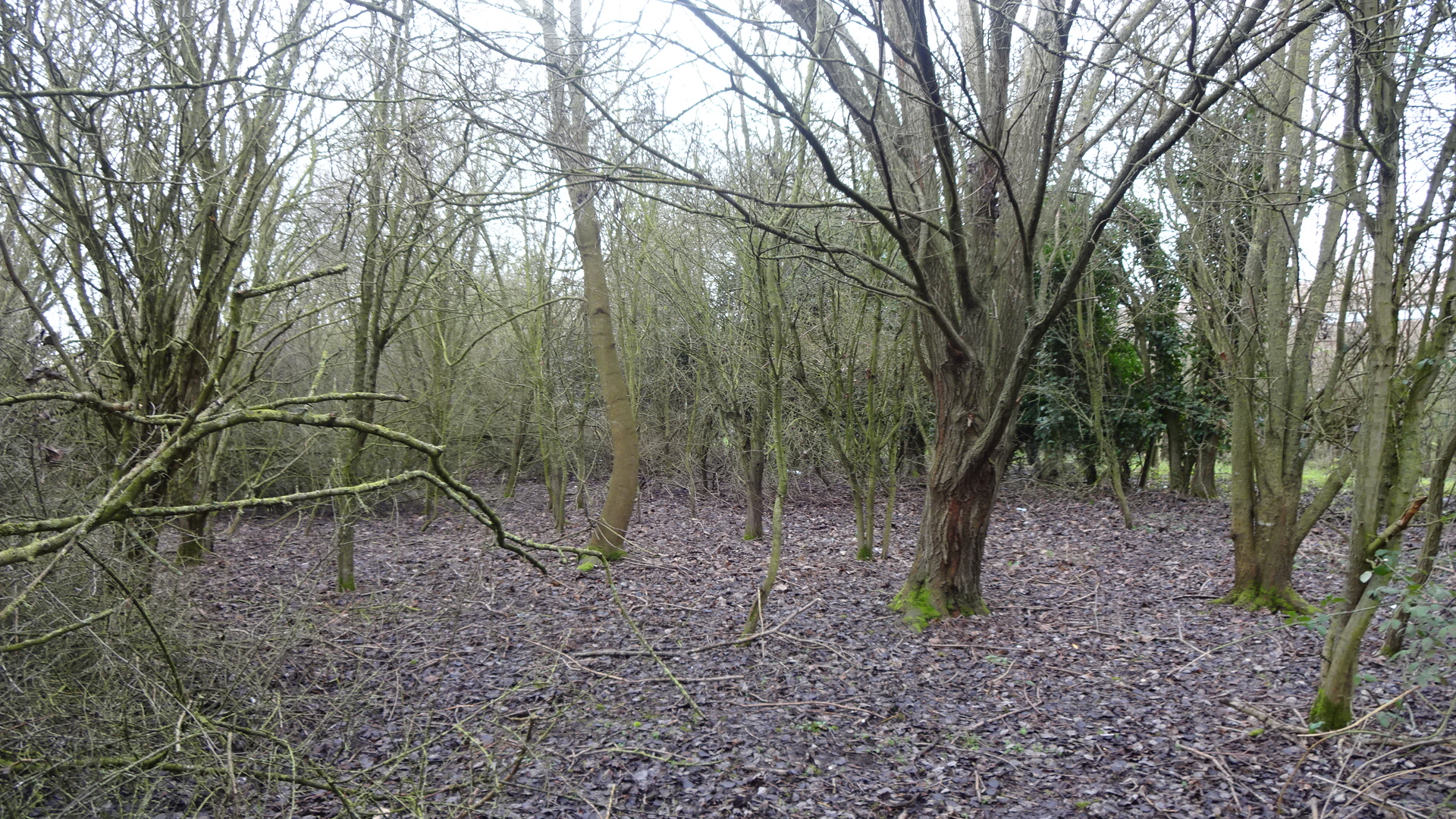
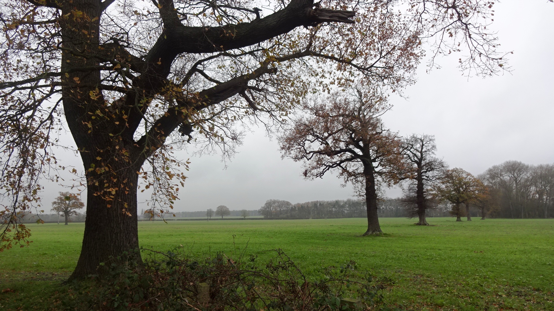
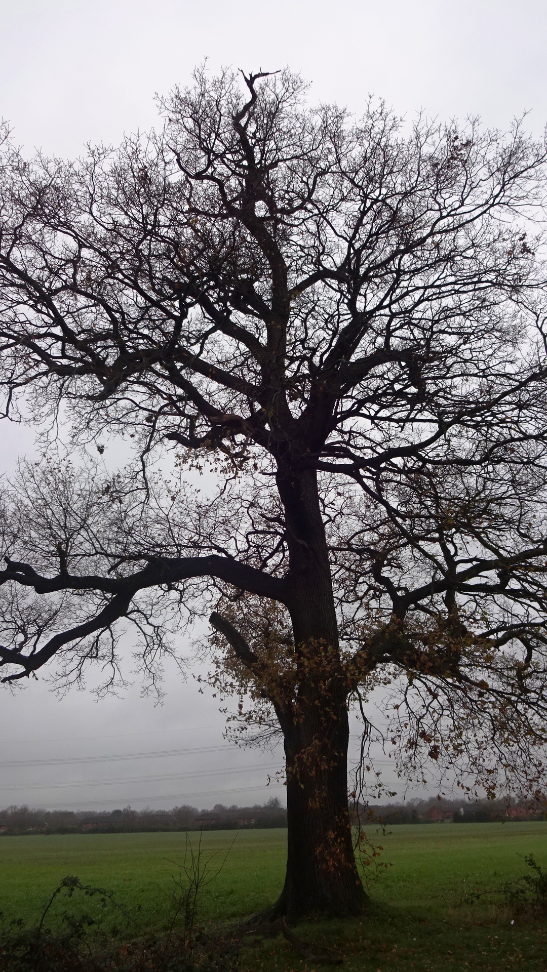
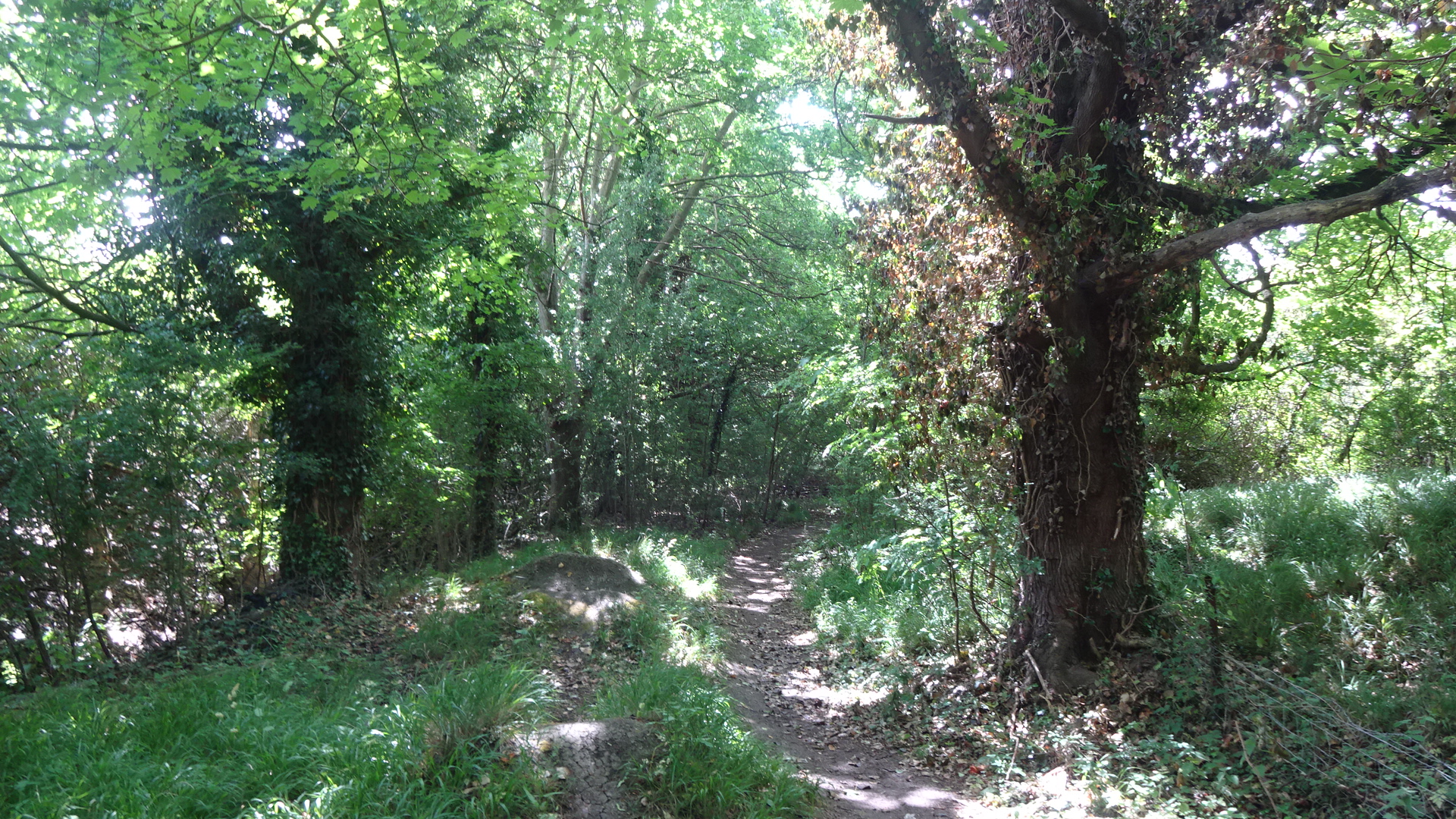
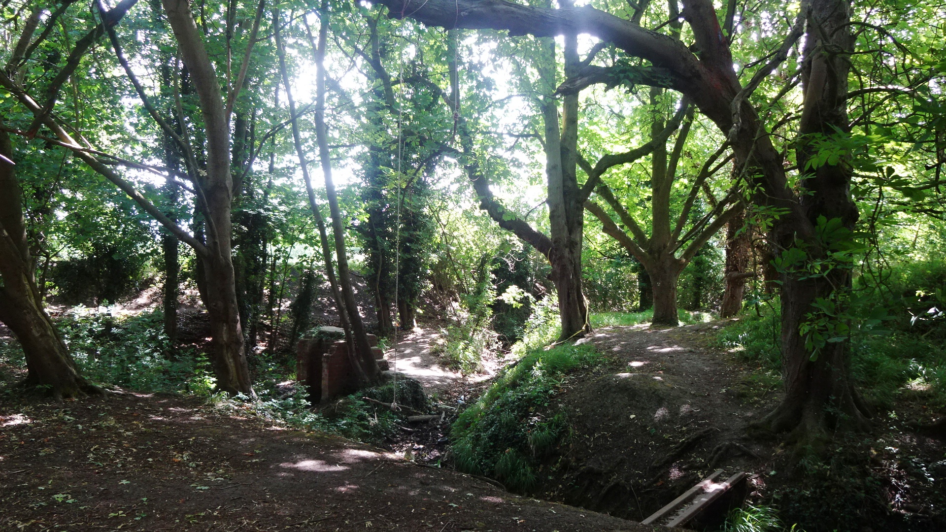
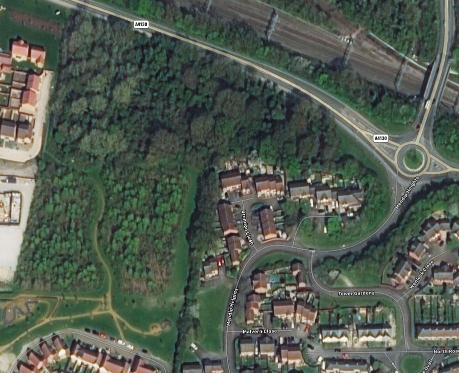
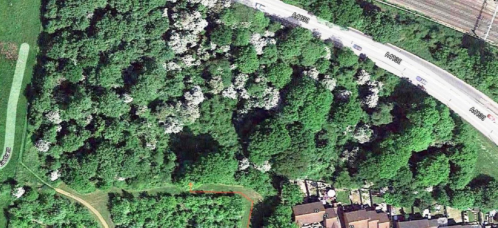
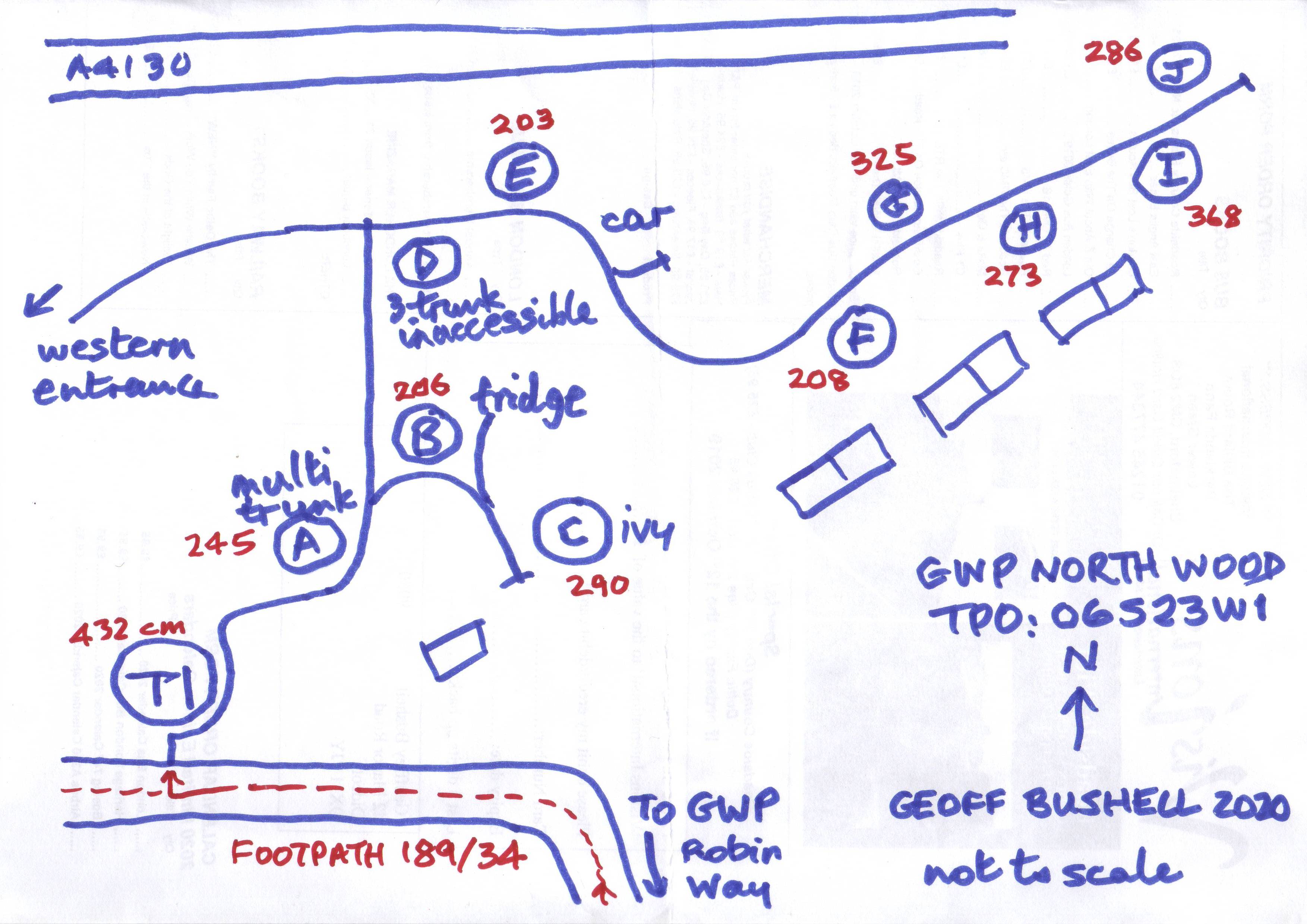
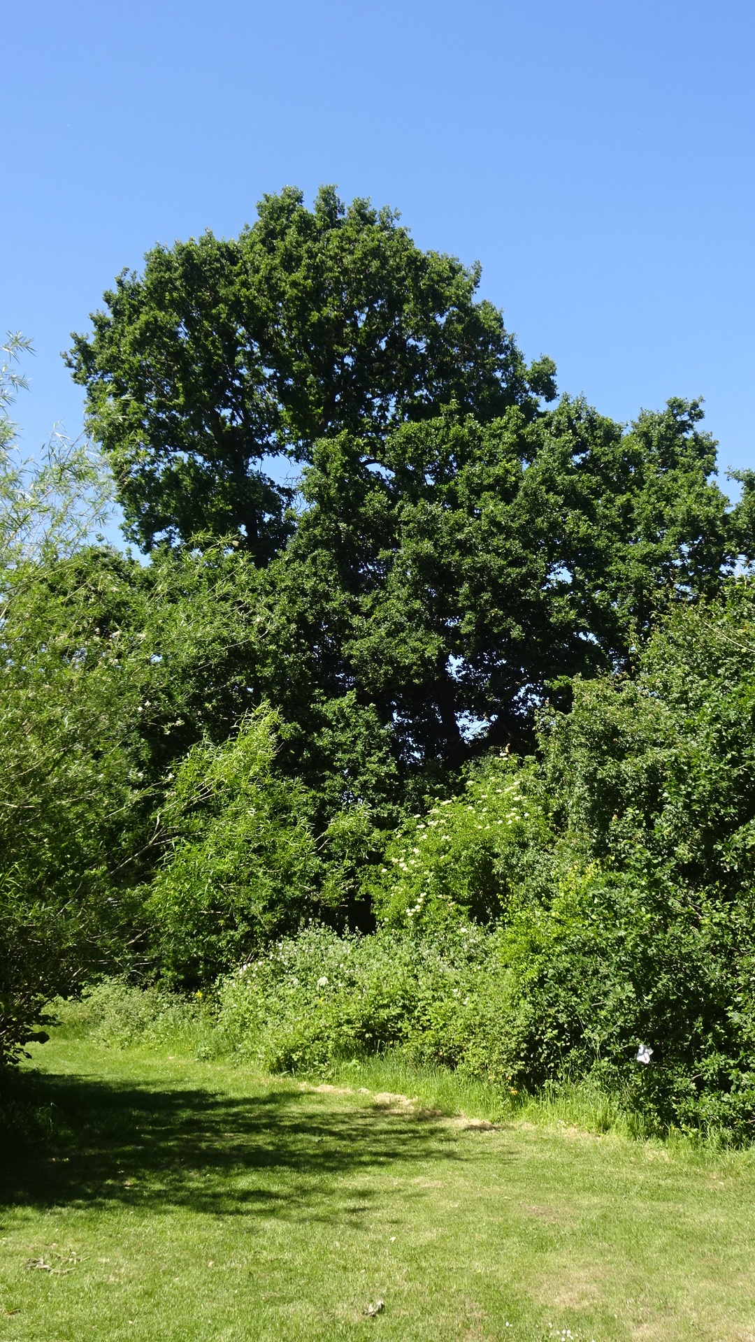
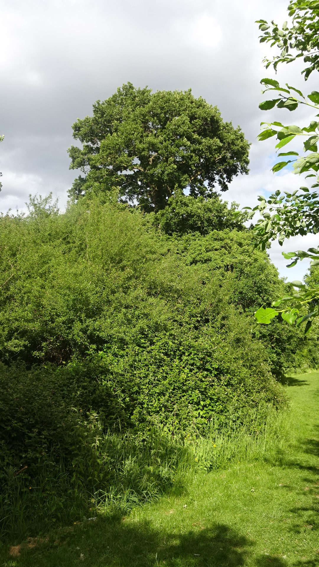
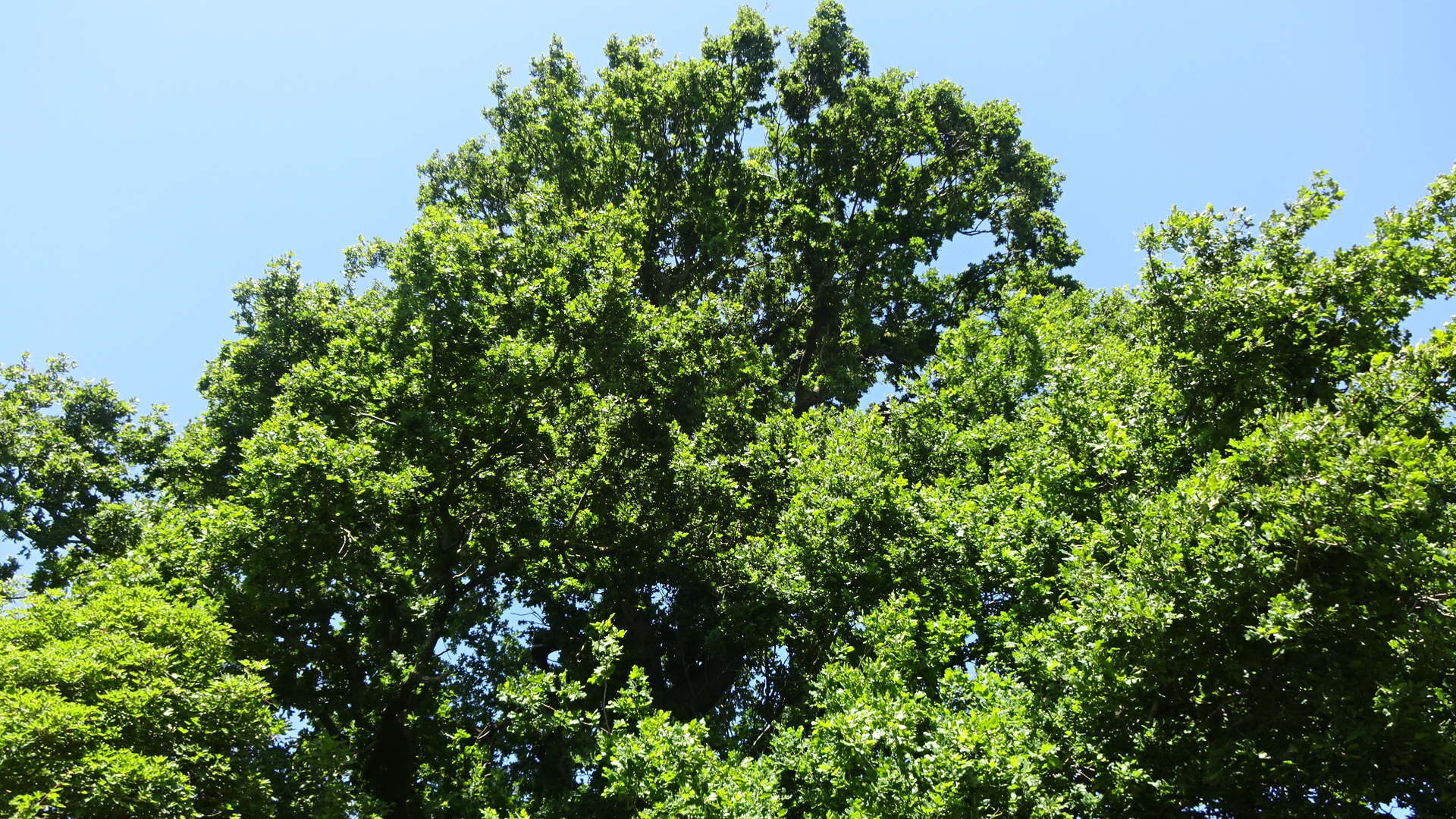
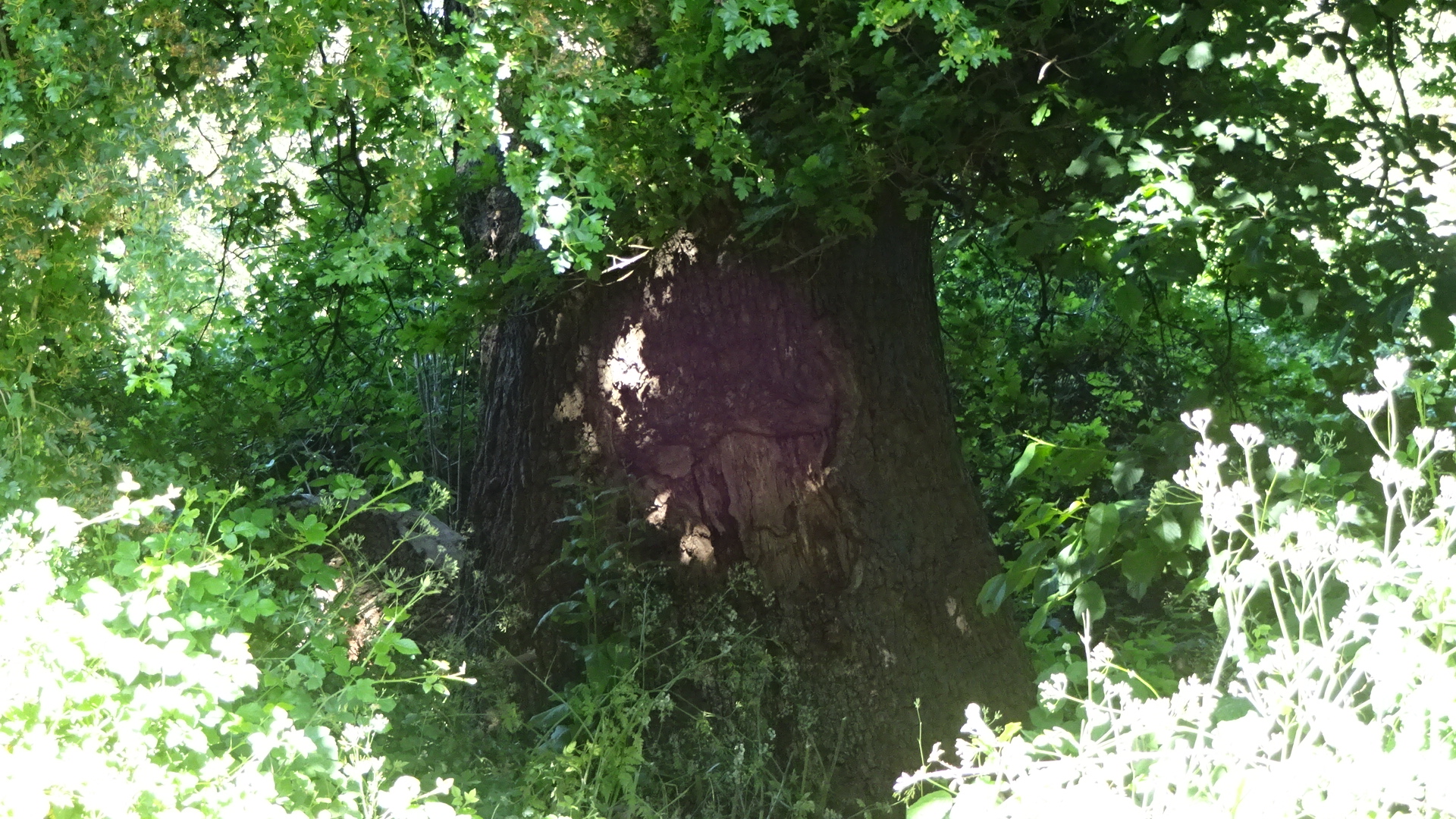
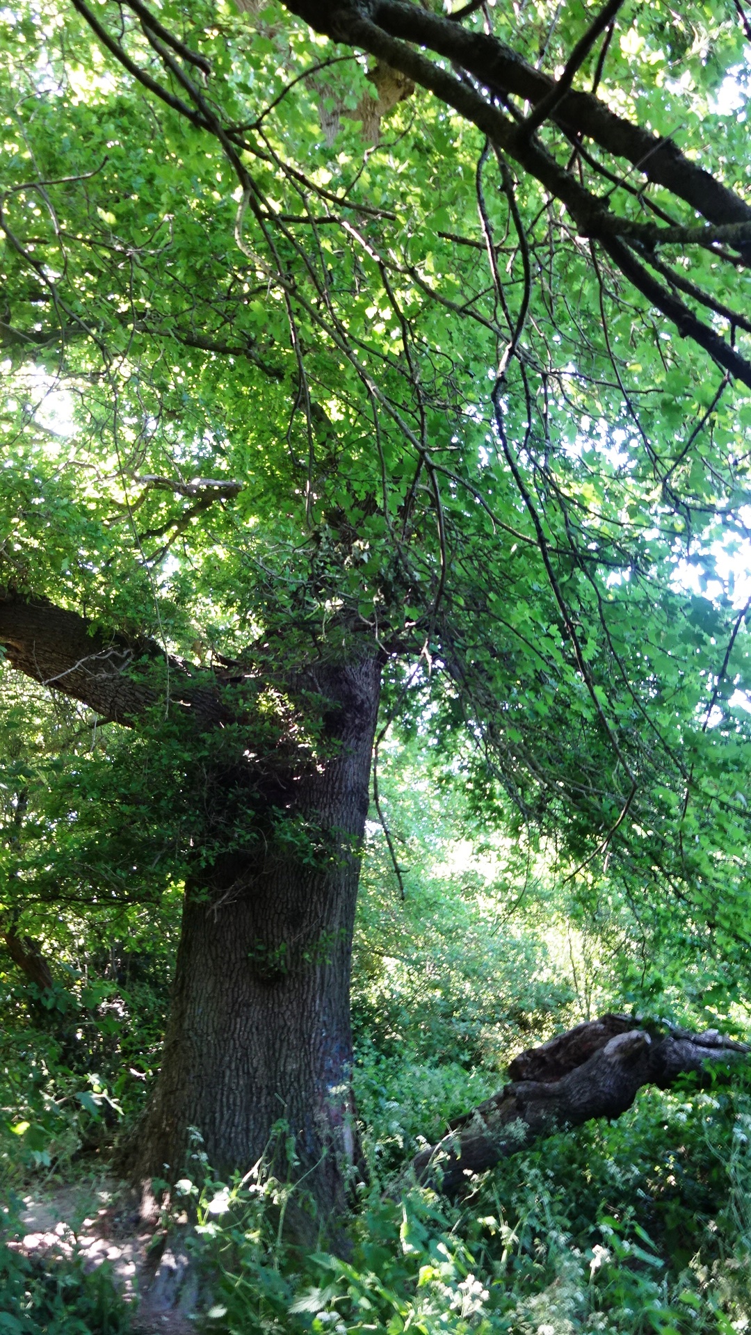
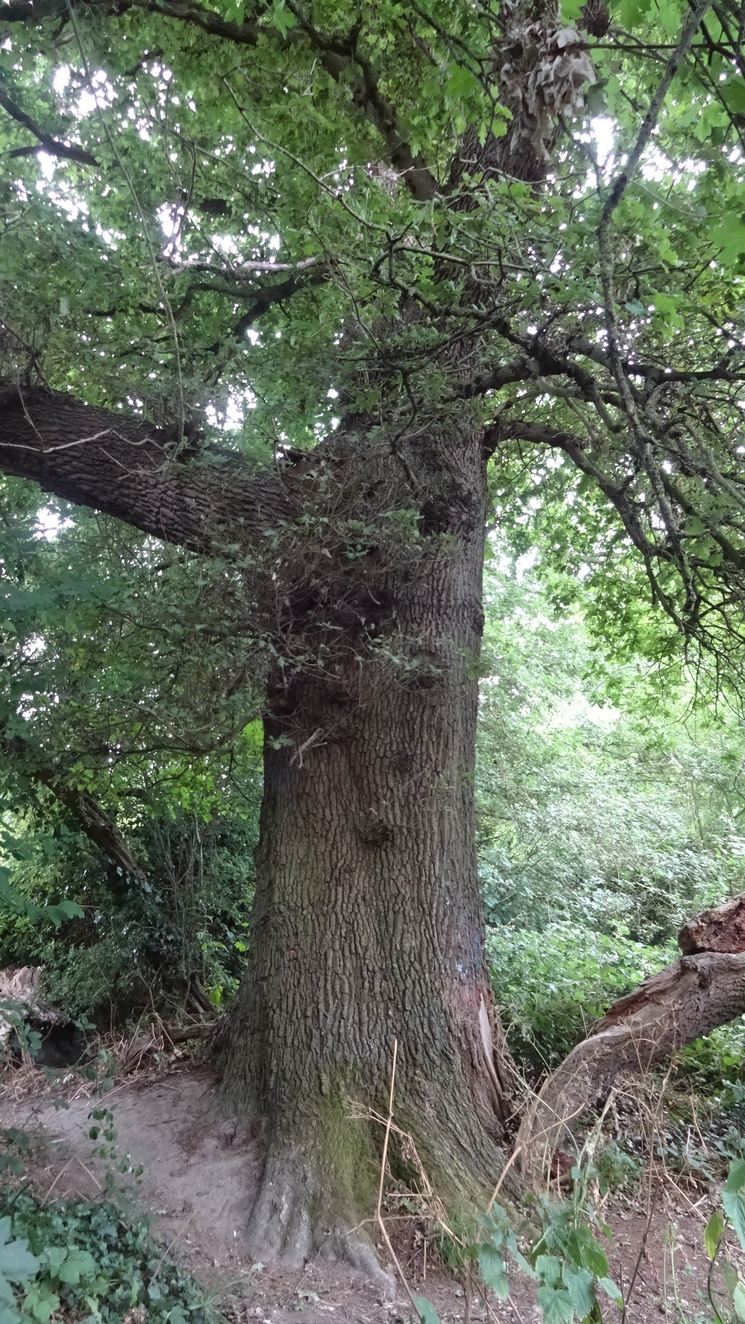
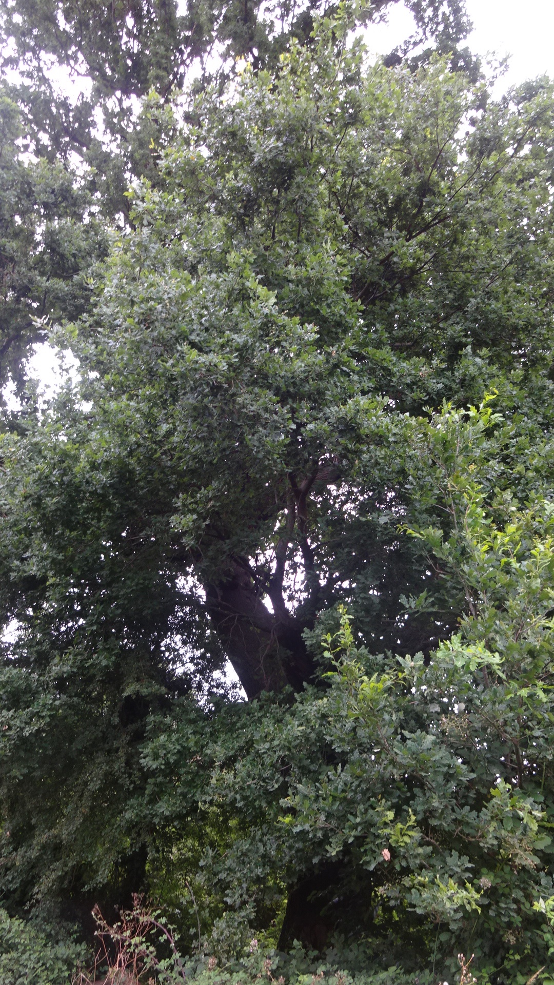
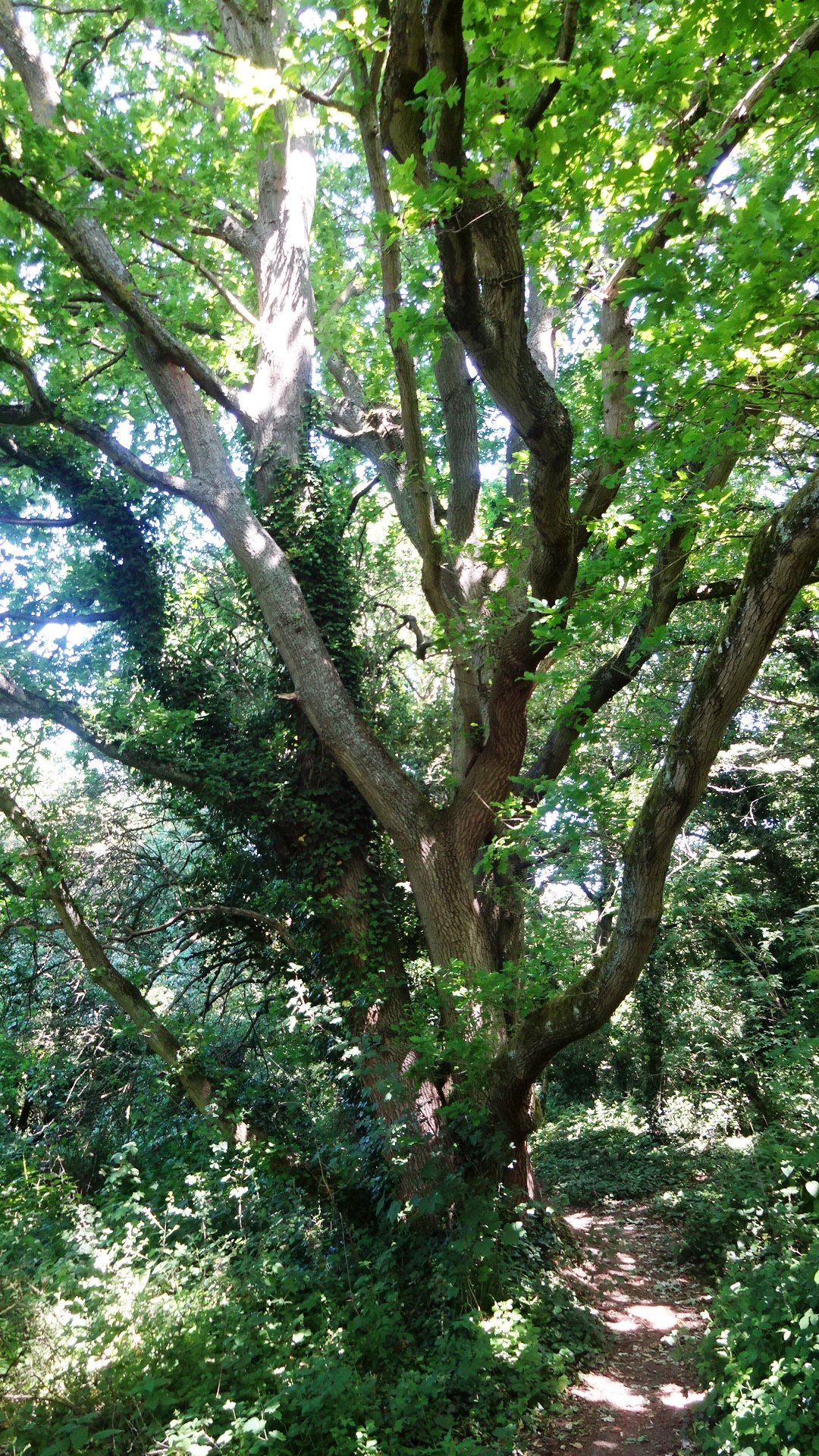
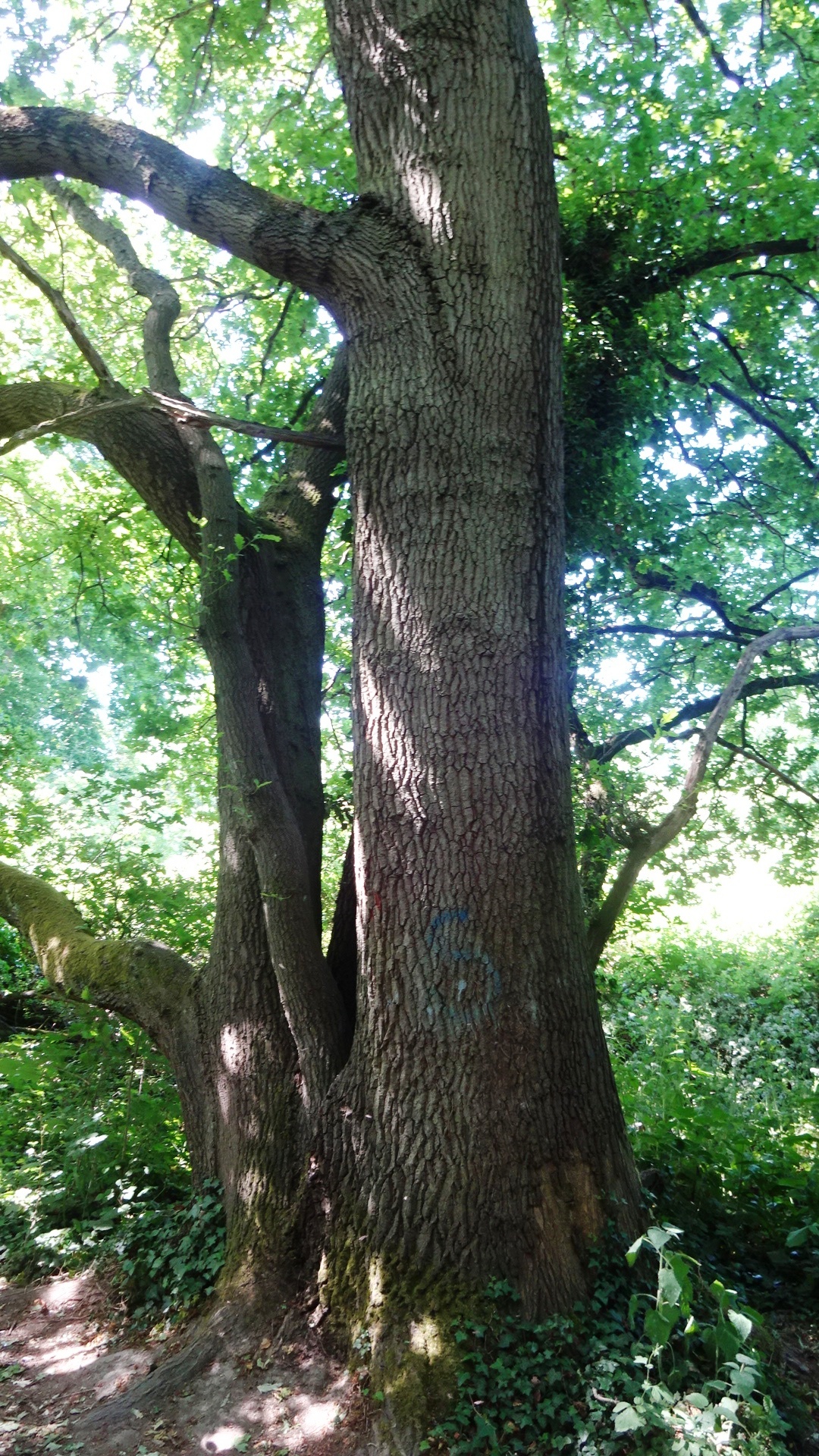
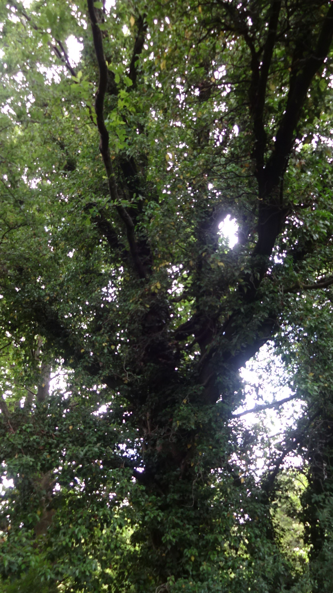
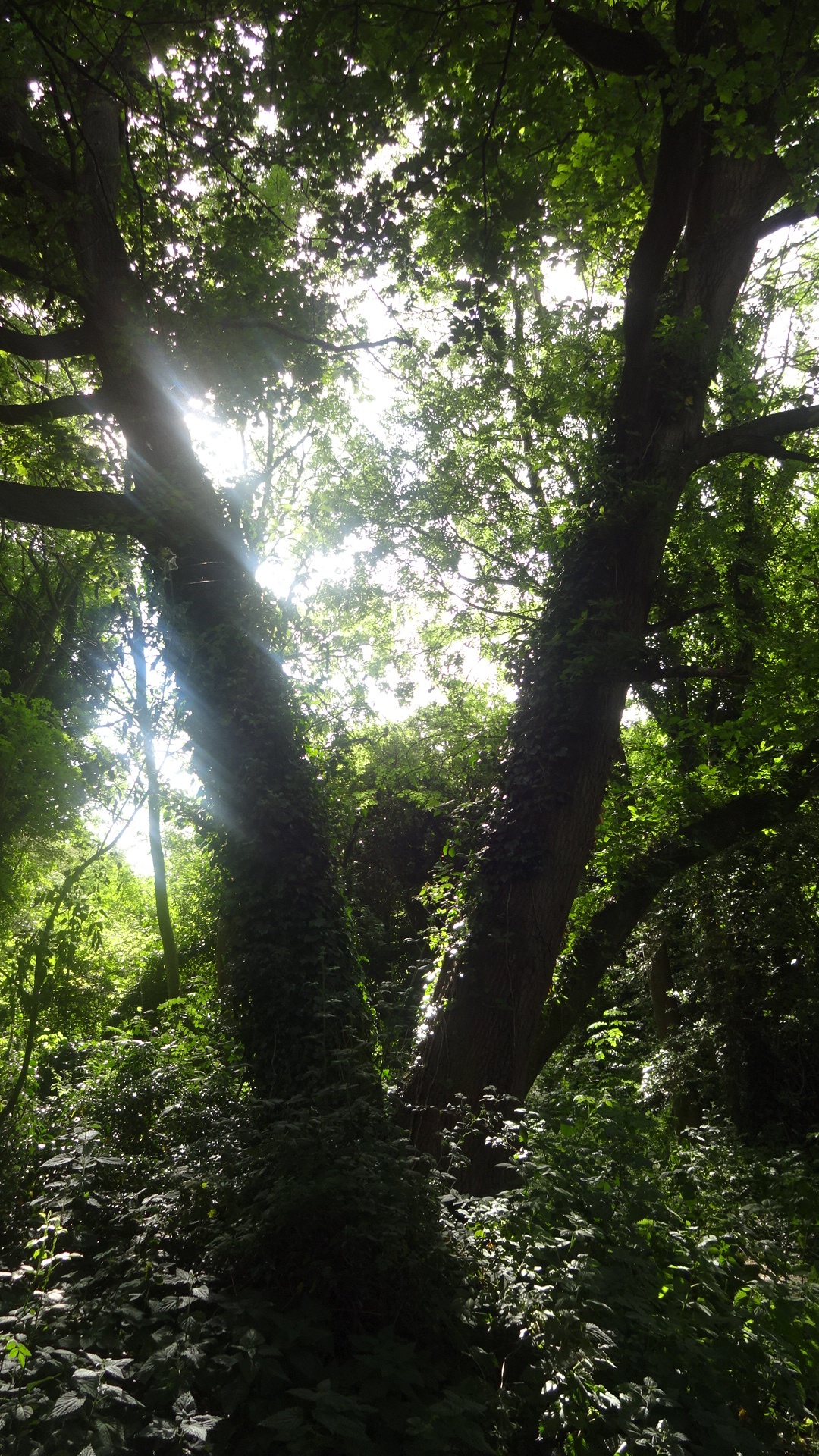
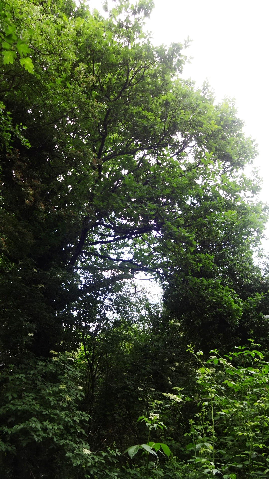
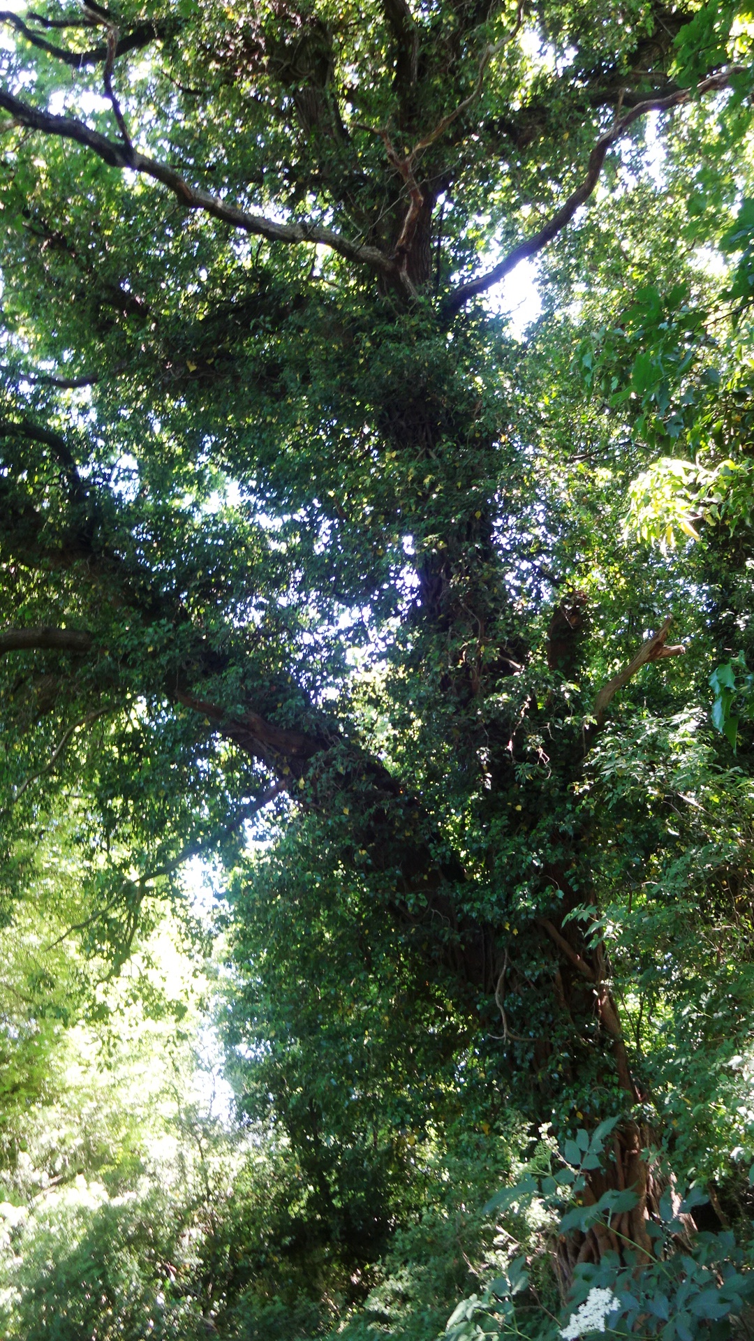
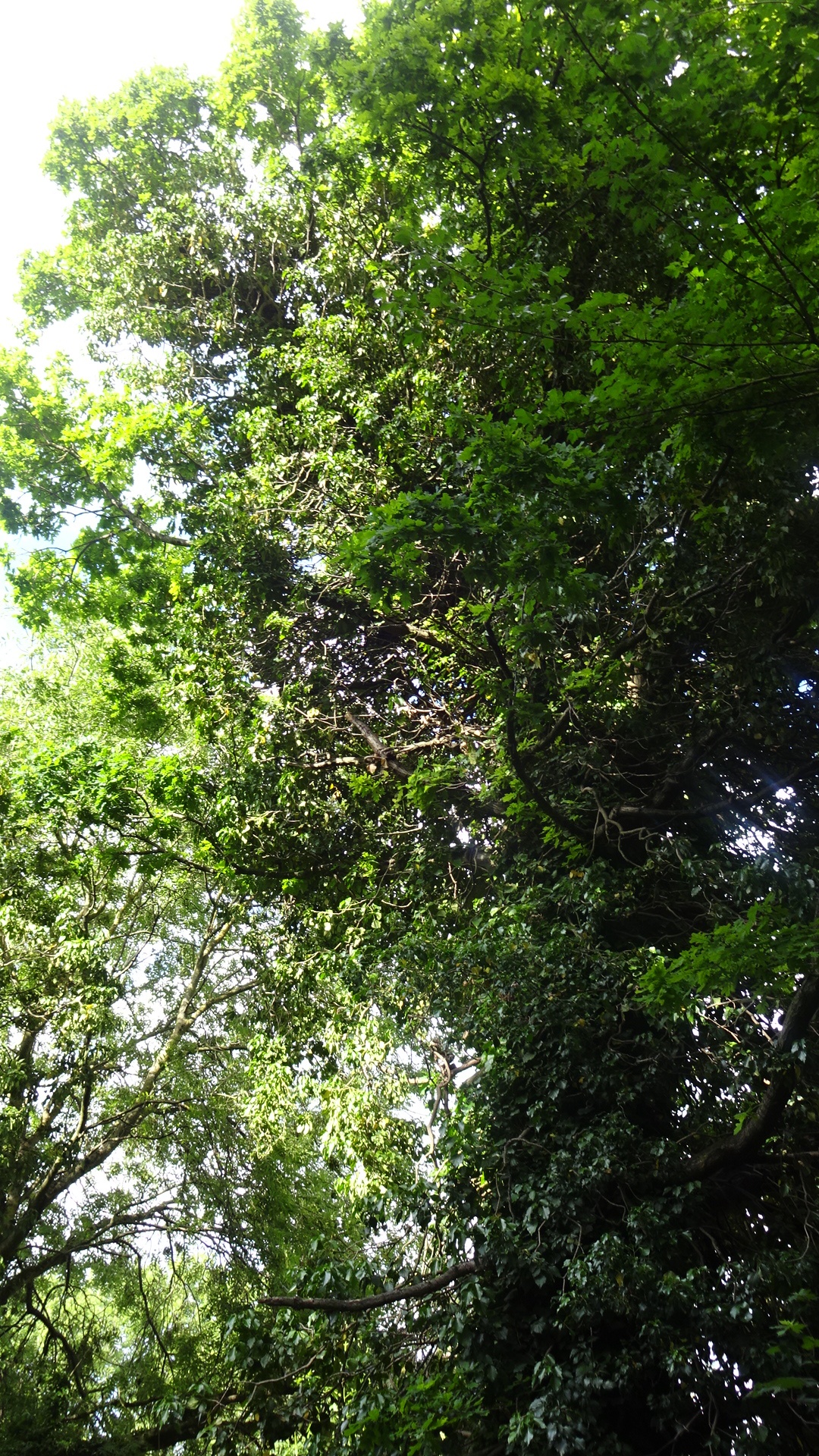
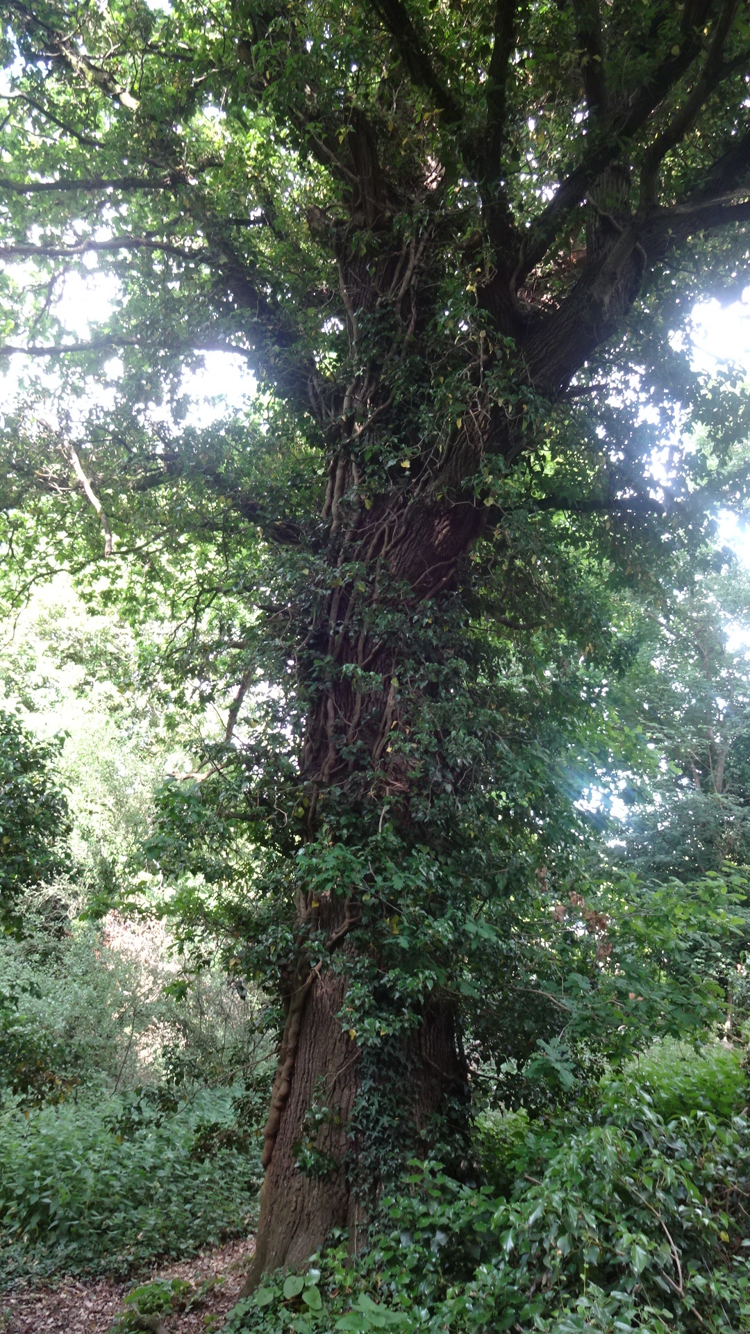
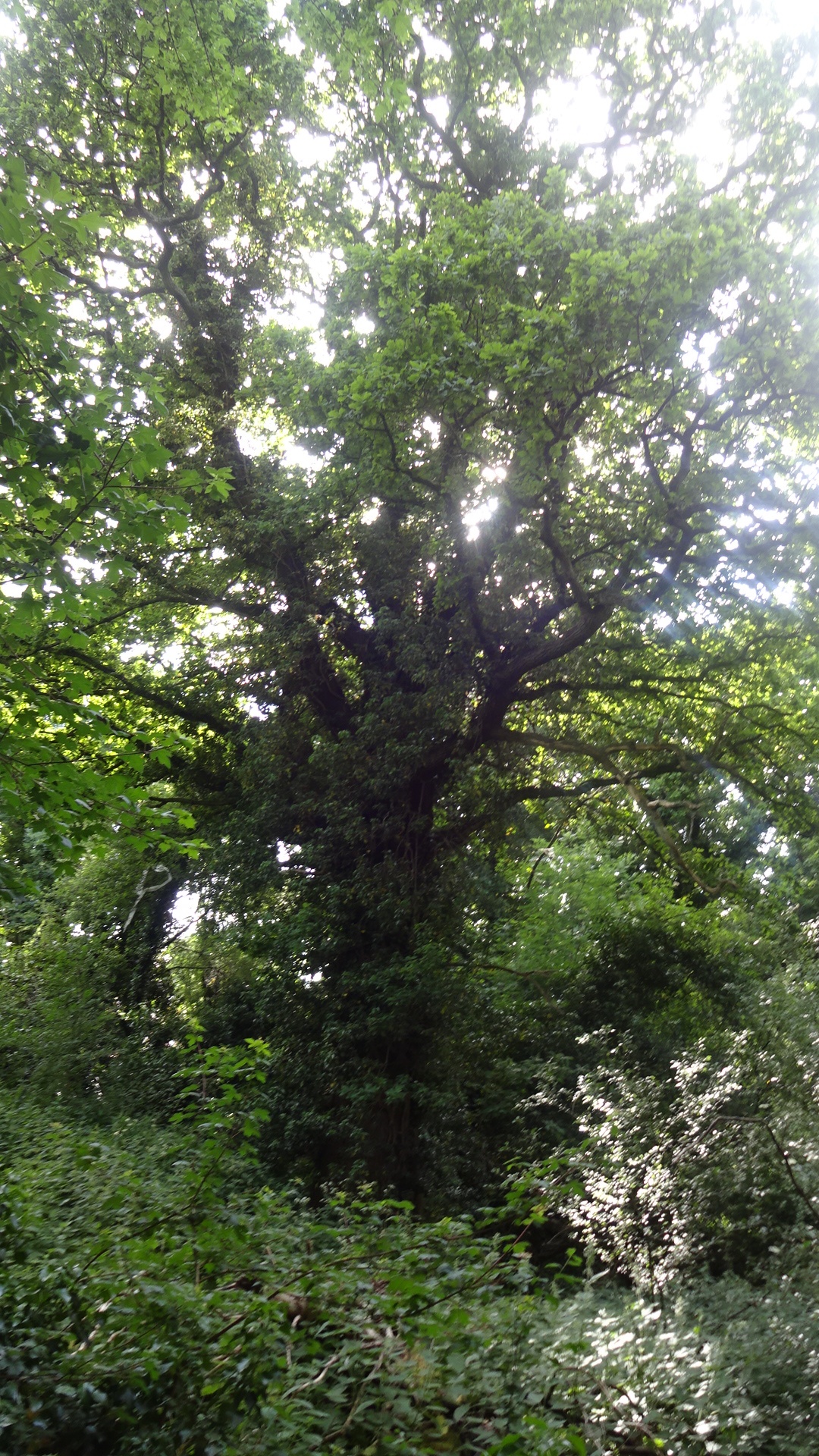
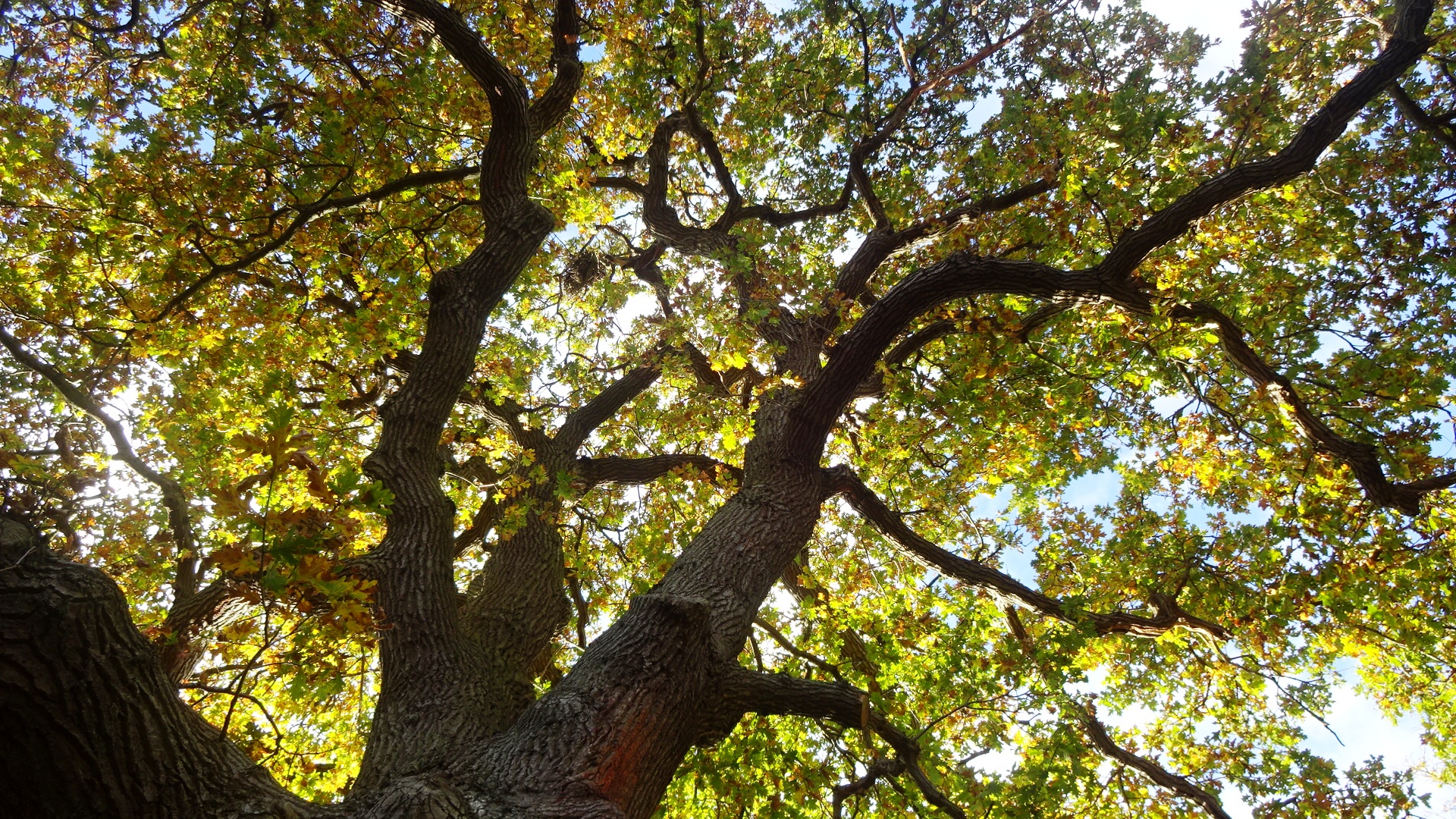
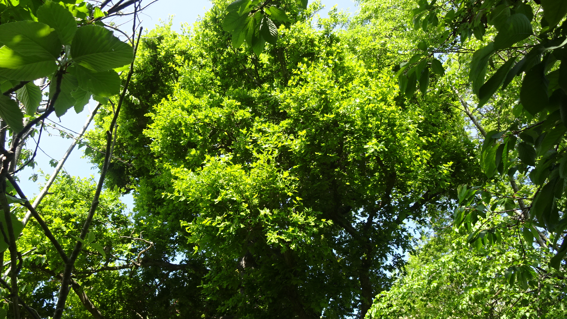
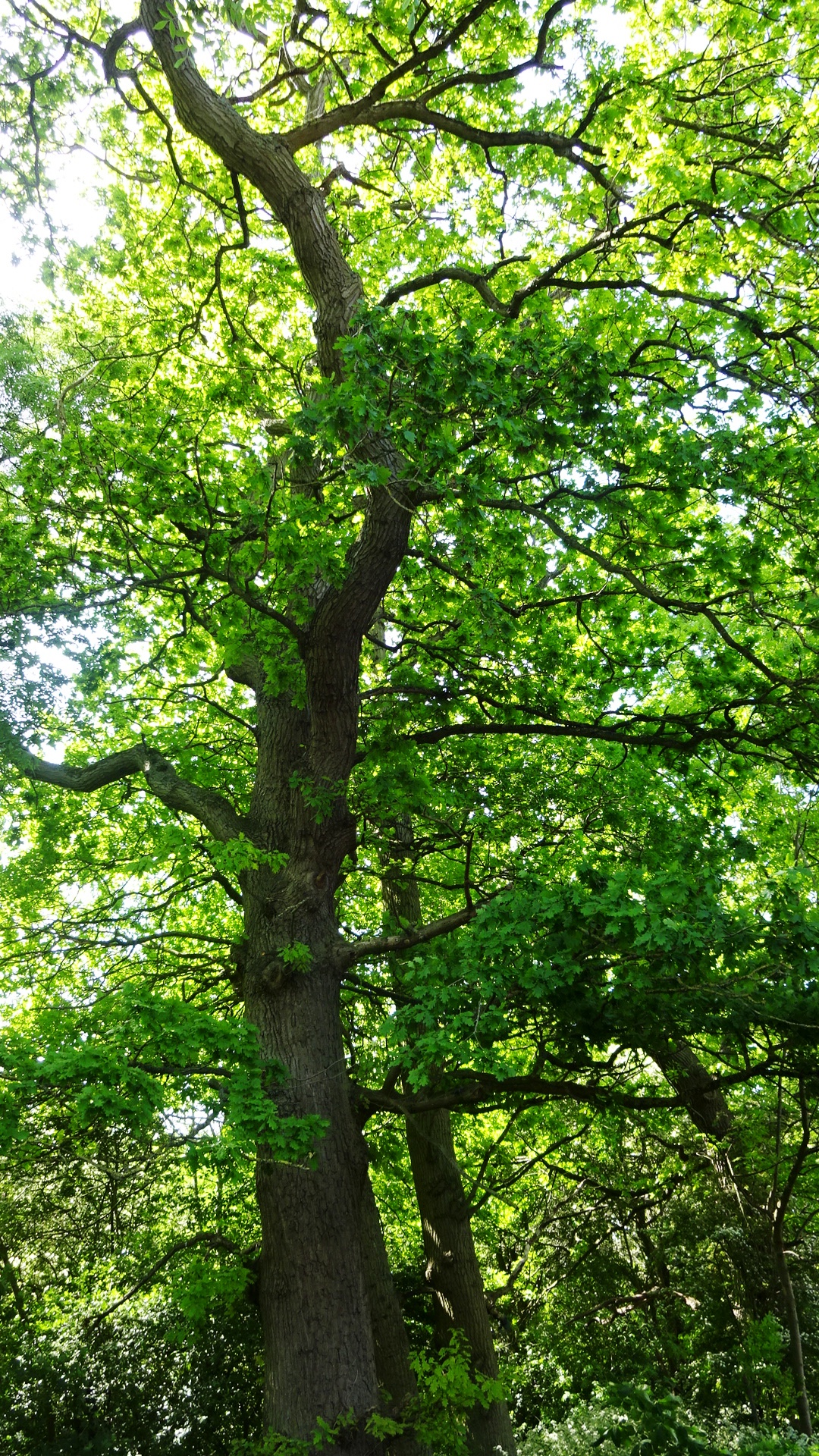
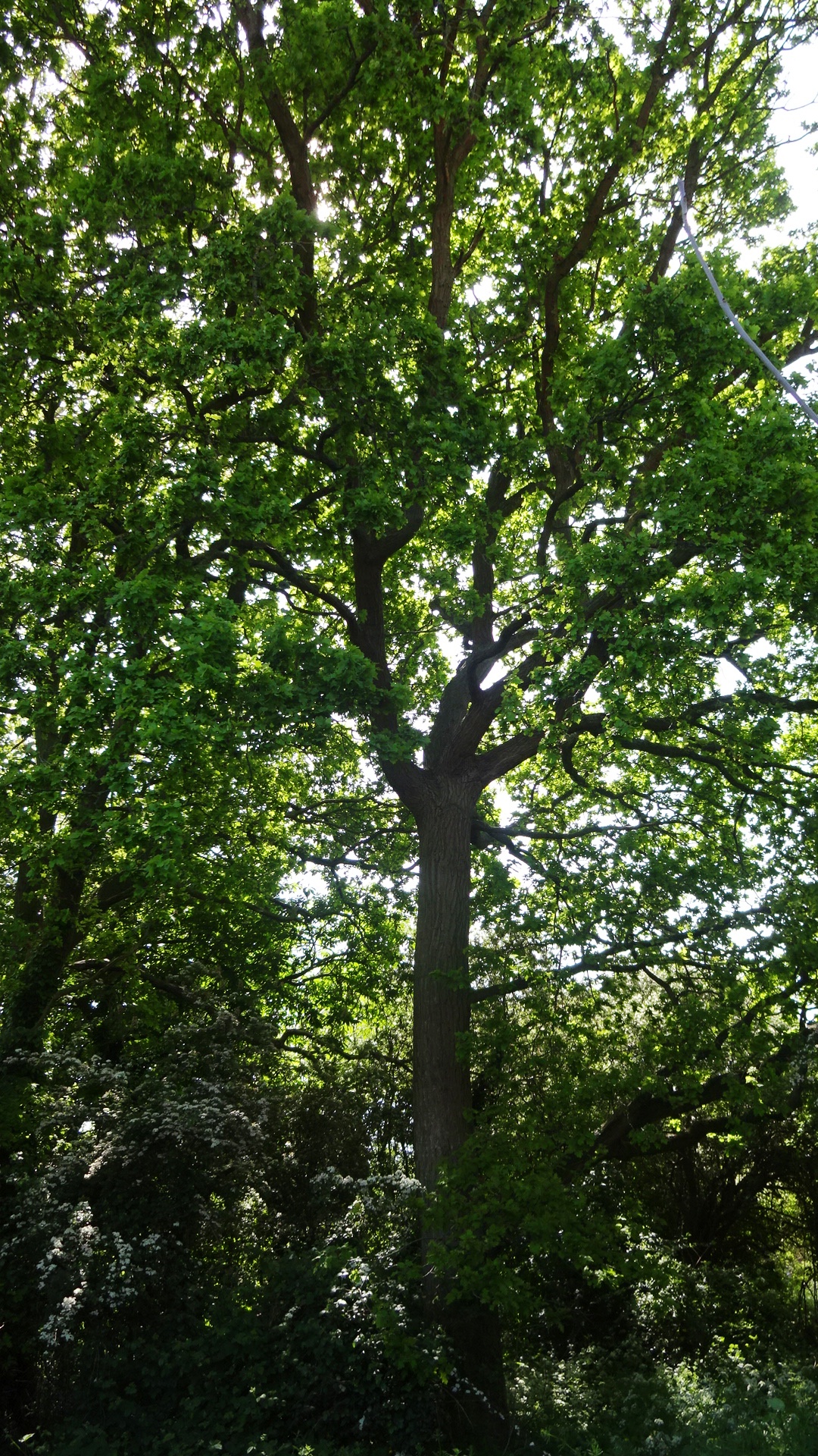
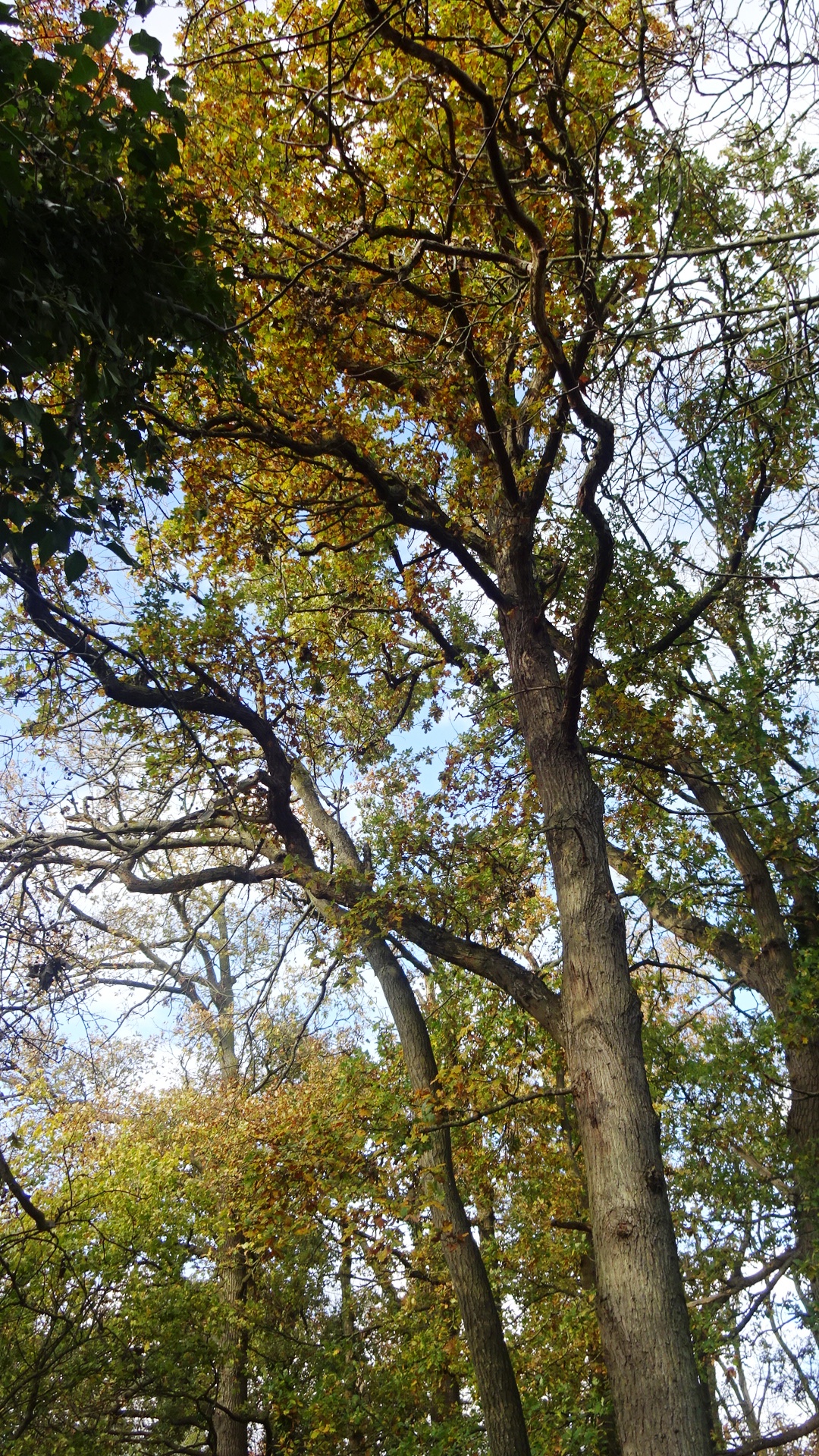
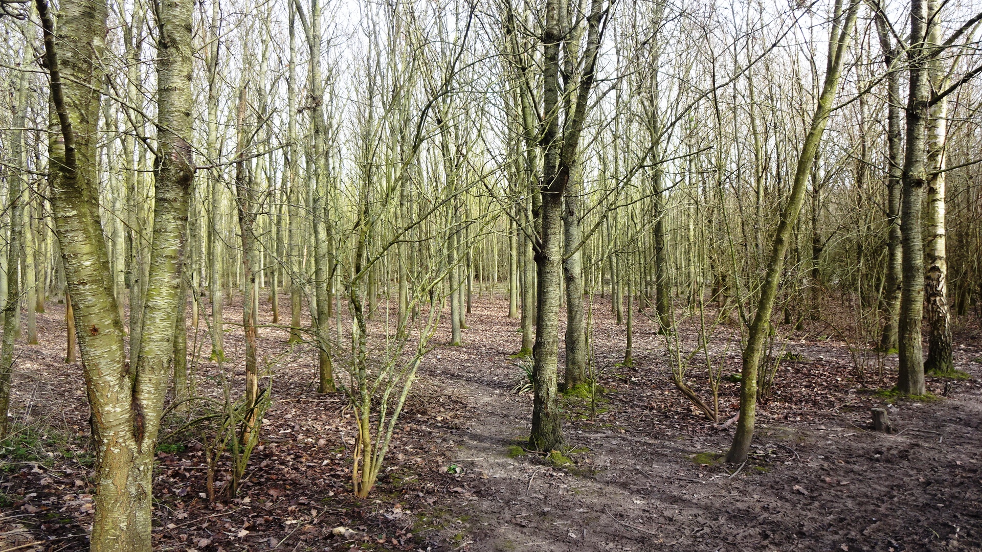
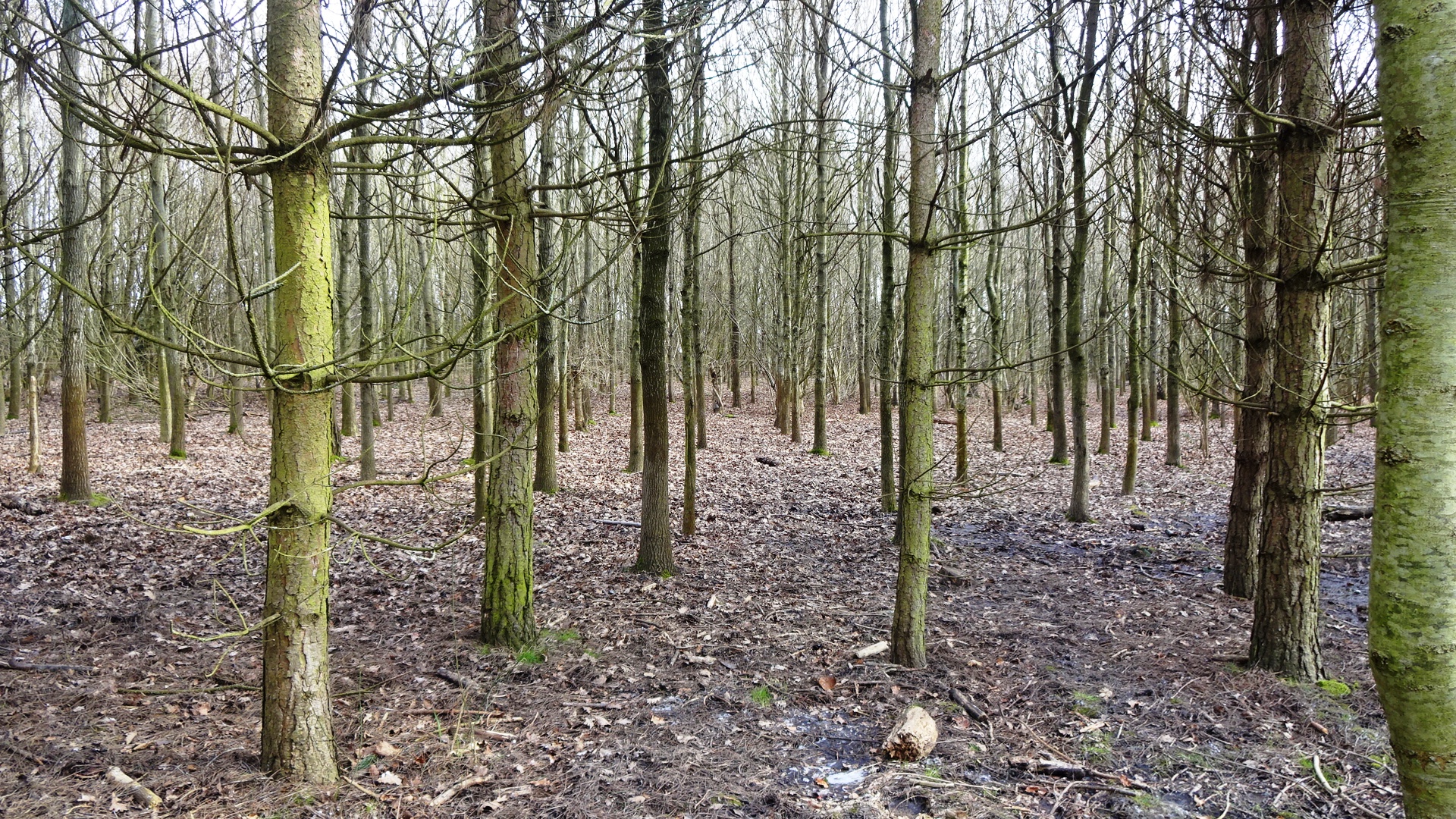
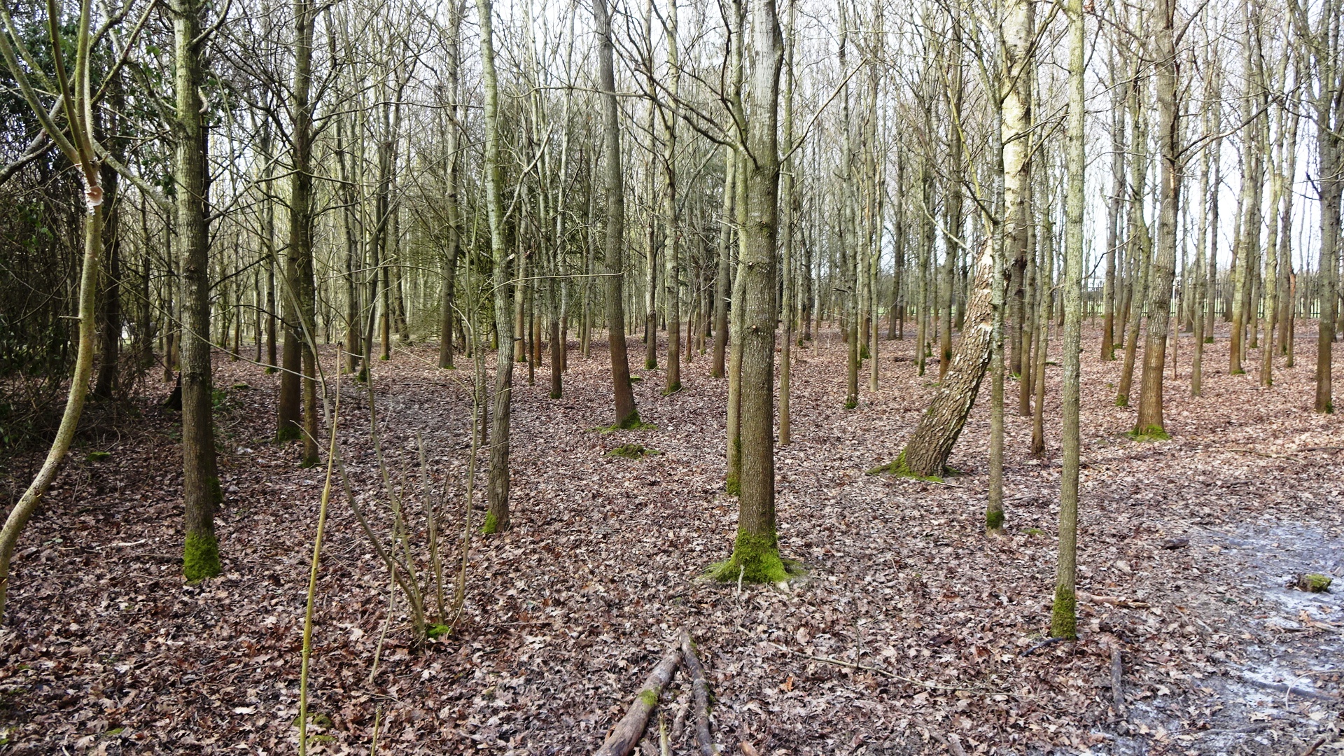
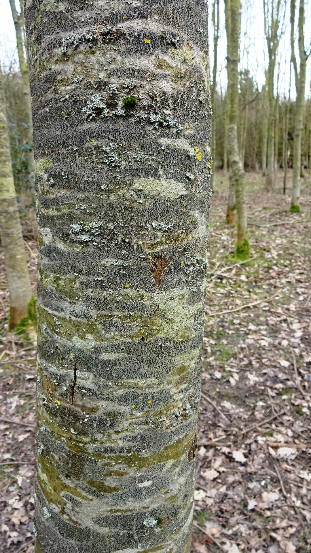
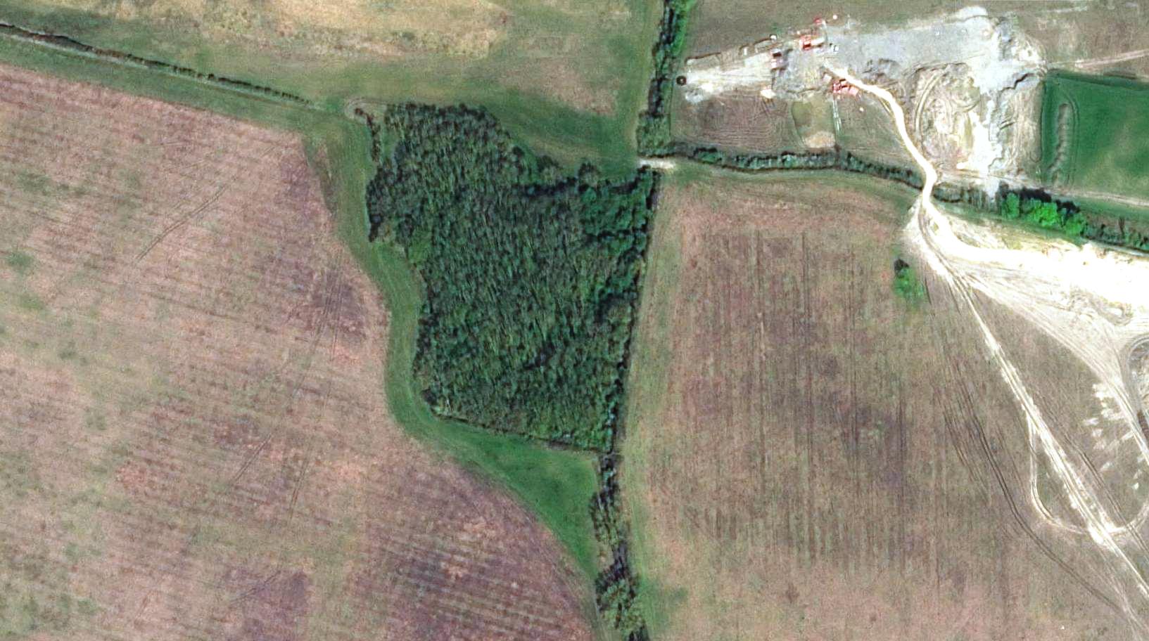
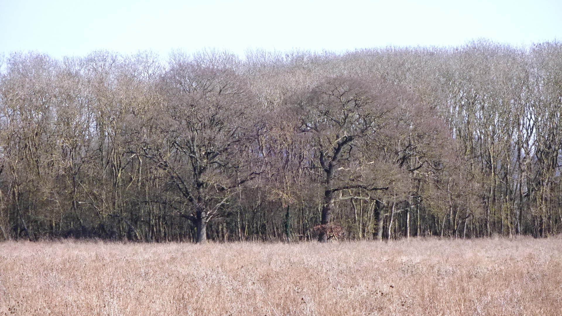
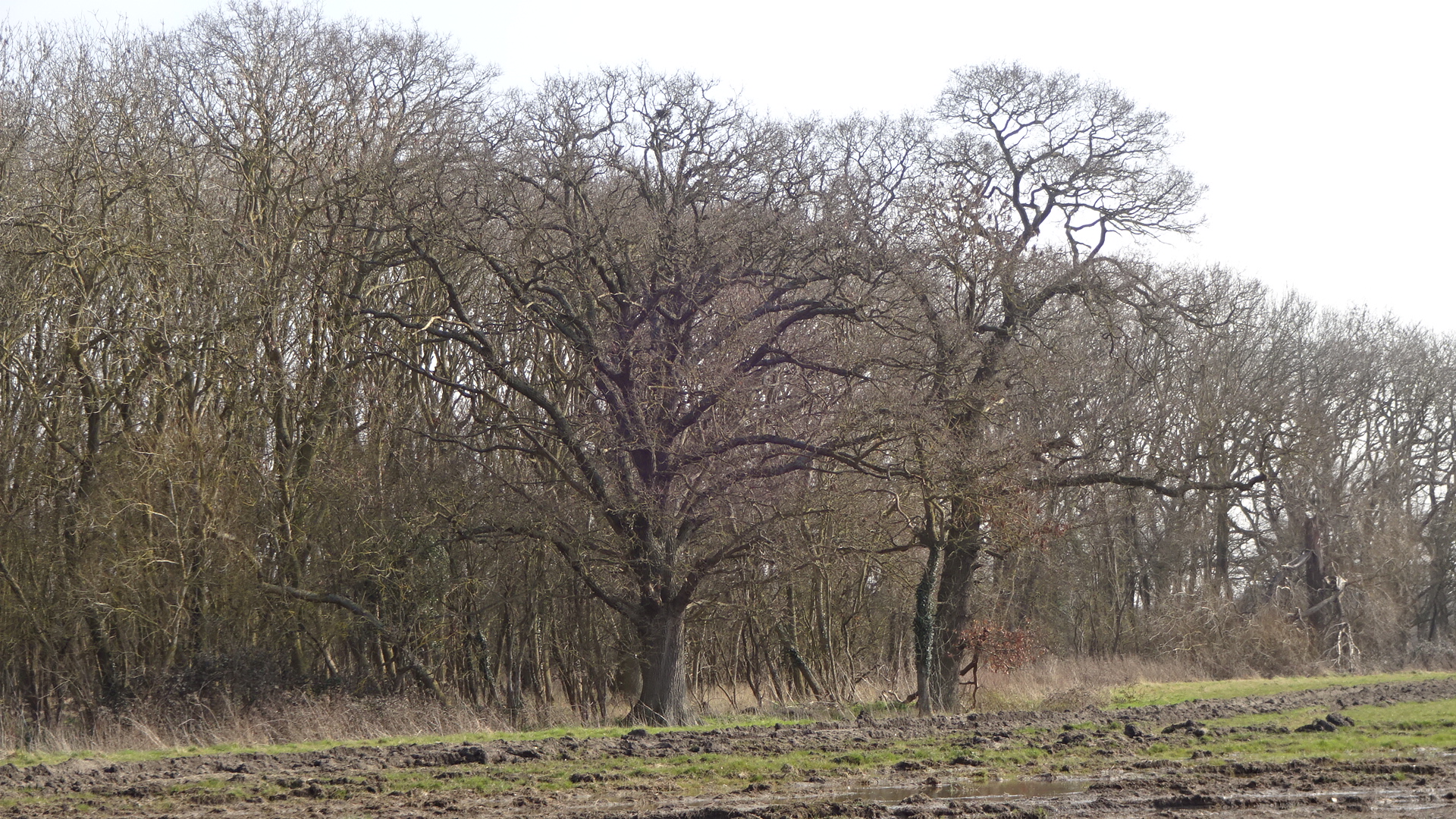
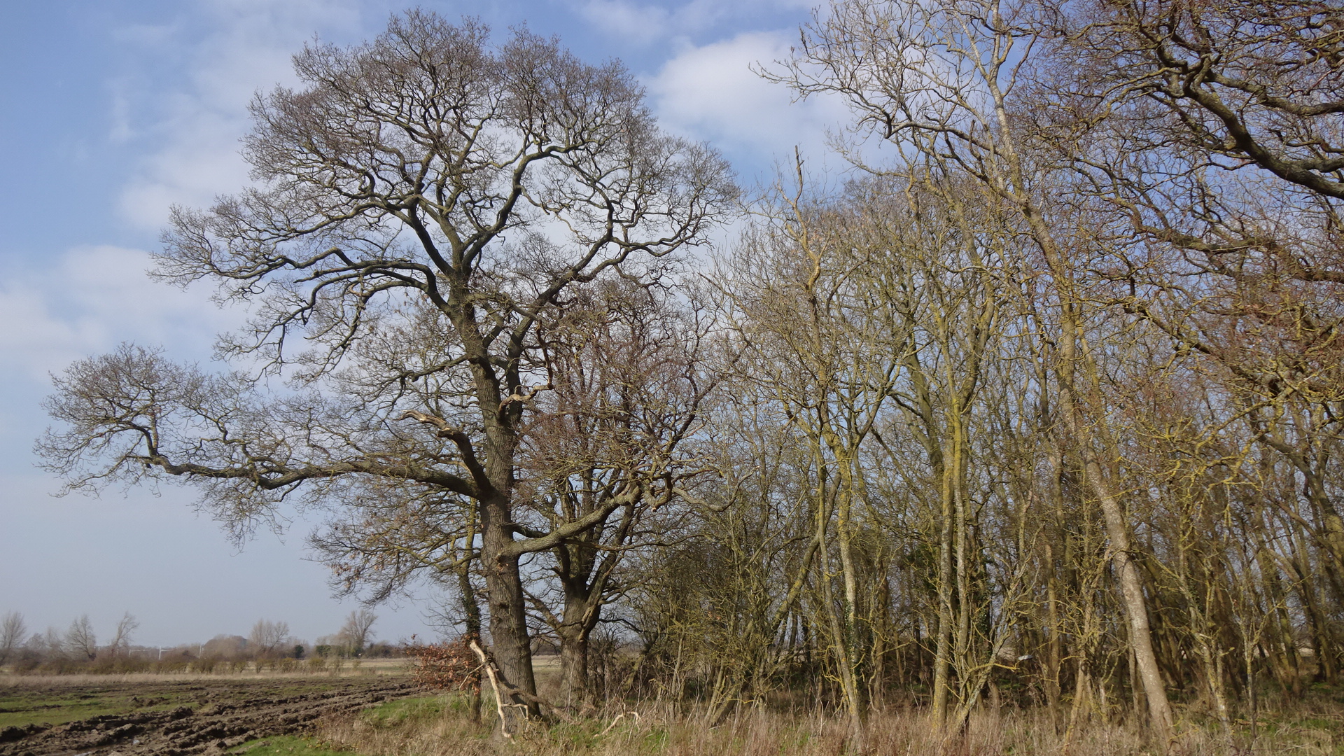
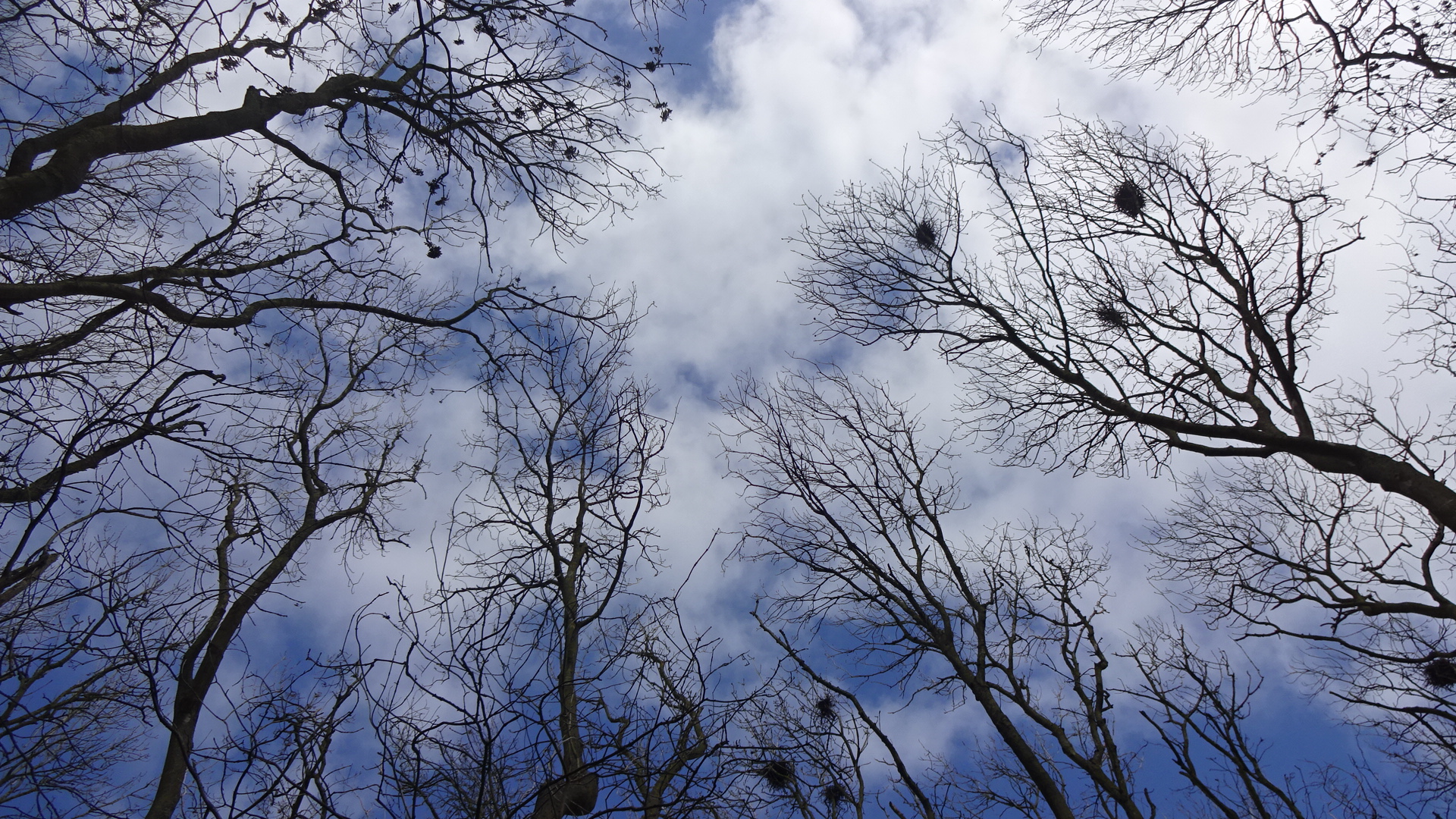
GWP NORTH WOOD As far as anyone knows, this hidden gem of a wood has no name, and it appears little known. From the east-west grassy strip that runs along its southern border, there are glimpses of a tall oak rising above the rest of the canopy. The entrances to the wood are not obvious, but the most accessible one is in the centre of this grassy path (Oxfordshire 189/34). On entering the wood, one soon meets a very large tree which has its own TPO as well as the protection of the TPO covering the whole wood. Up close, it's clear that the tree has lost a large branch, but there is only one other oak tree in Didcot with a larger girth (in Edmonds Park) making this Didcot's second largest oak. Its girth is 432 cm, which using the Woodland Trust ready reckoner, makes it 232 years old in 2020, and establishes the date it first started growing as approximately 1788. Following the track around to the right leads past another dozen large oaks. Beware steep banks which make accessing many of the trees hazardous. The path to the left goes through a younger section of the wood, with a wide variety of species and a lot more light coming through the canopy – this exits further west into GWP.
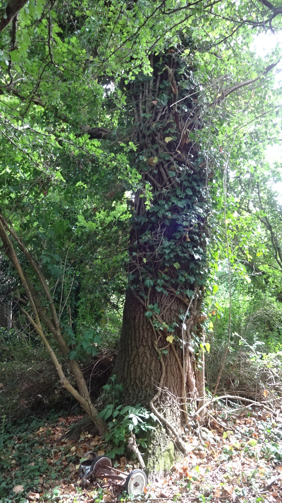
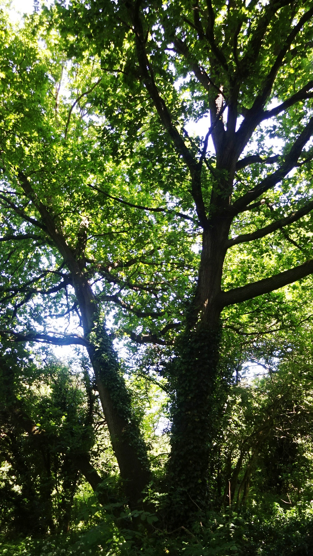
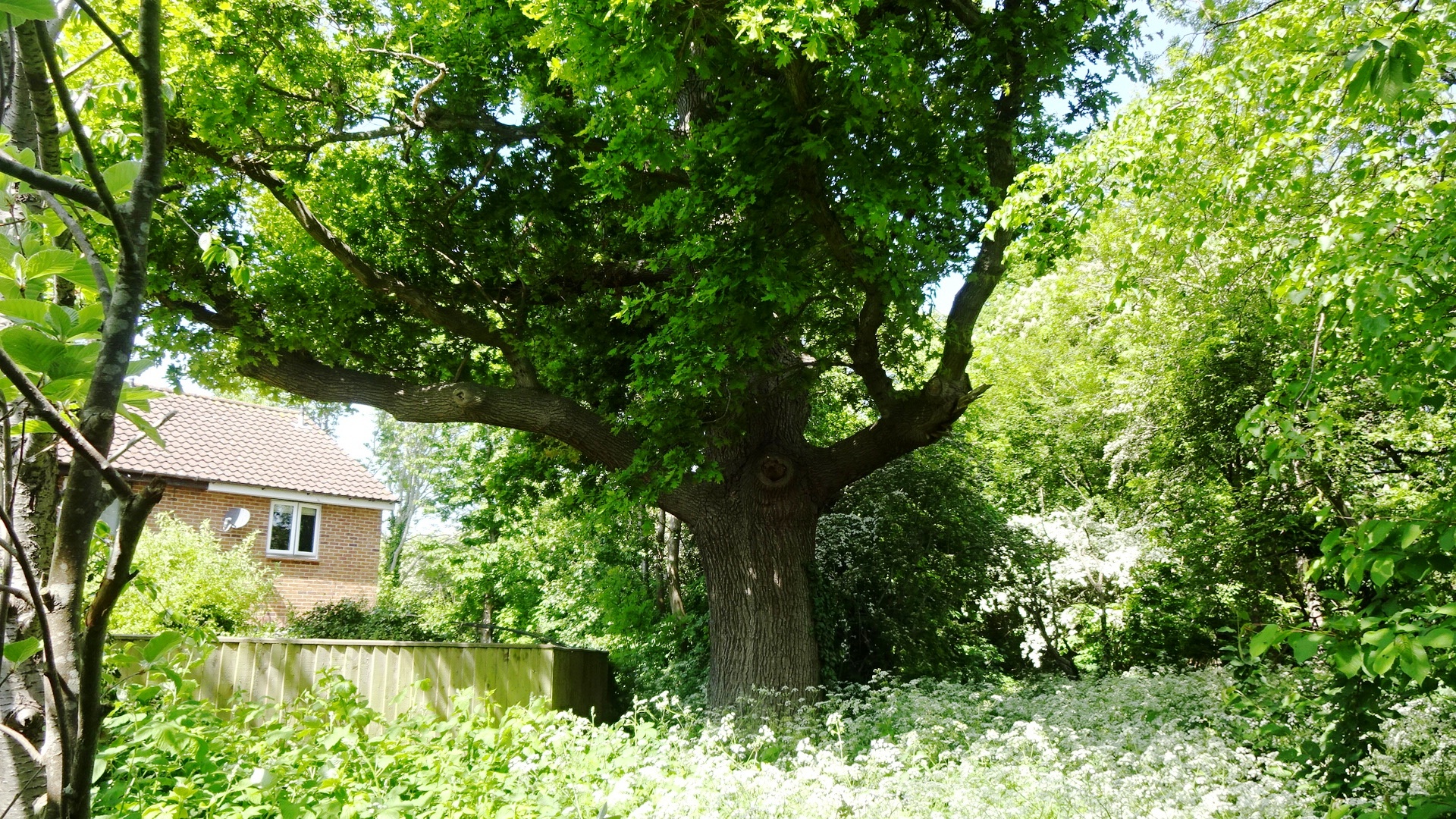
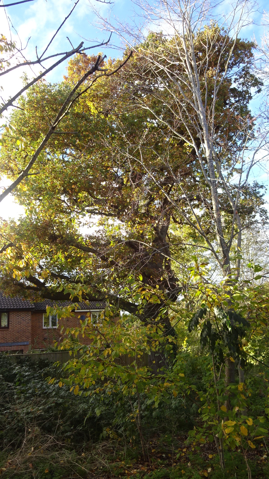
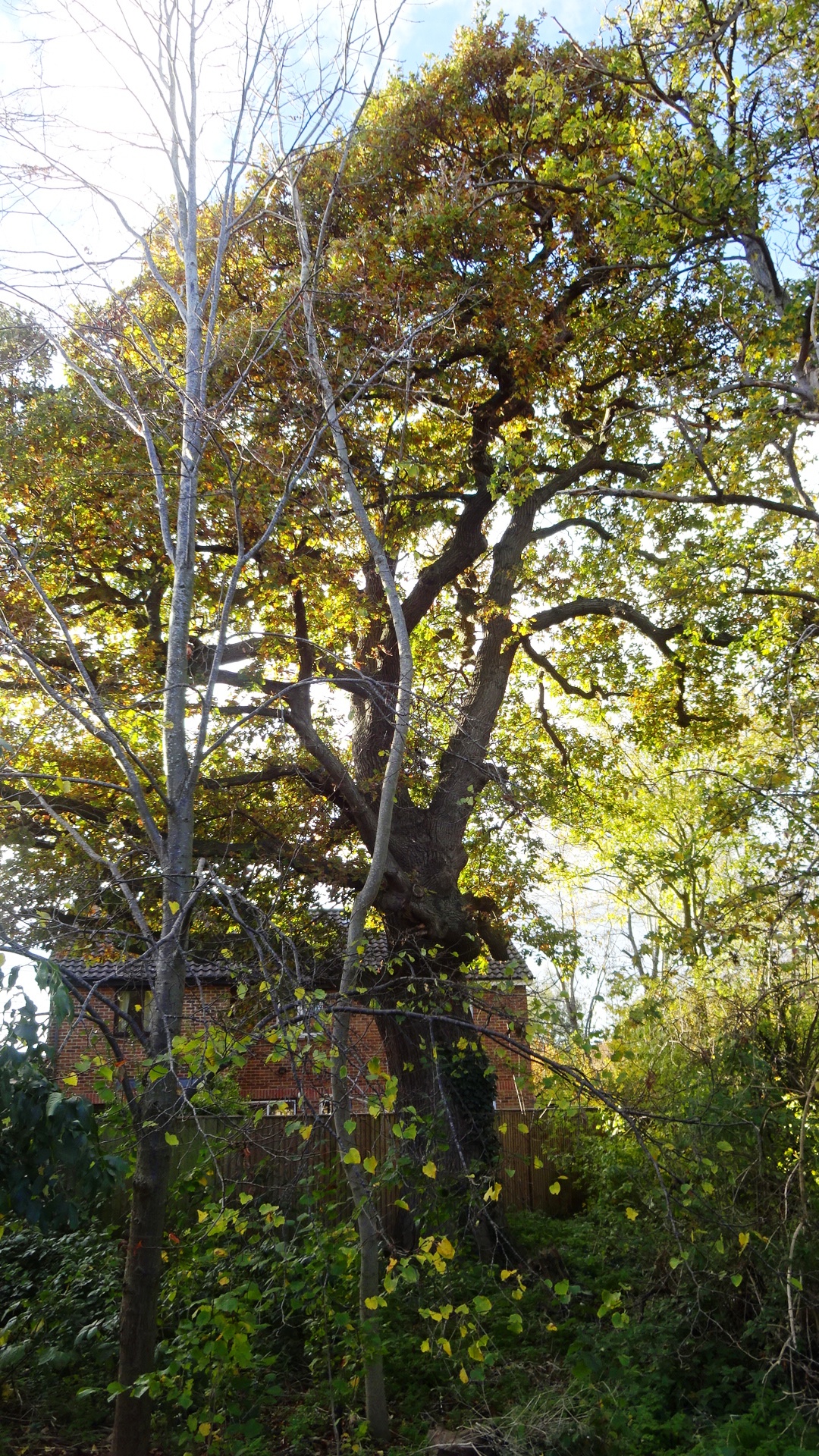
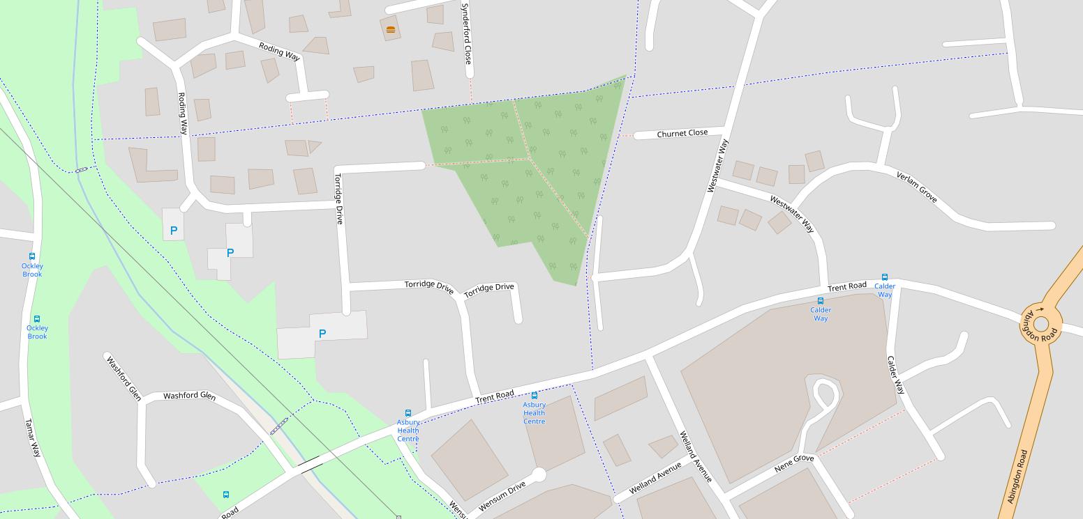
LADYGROVE WOOD – THE BOWER On some old maps of the area, long before the Ladygrove Park estate was built, there is a triangular wood named "The Bower". The wood has matured since then, and although there are few obvious paths, there are fine specimens of many tree species. Perhaps the most notable tree is at the south end, readily seen after walking down the footpath almost opposite the pillar box in Trent Road. Using the Woodland Trust's ready reckoner, this tree started growing around 1850 – more than 170 years old.
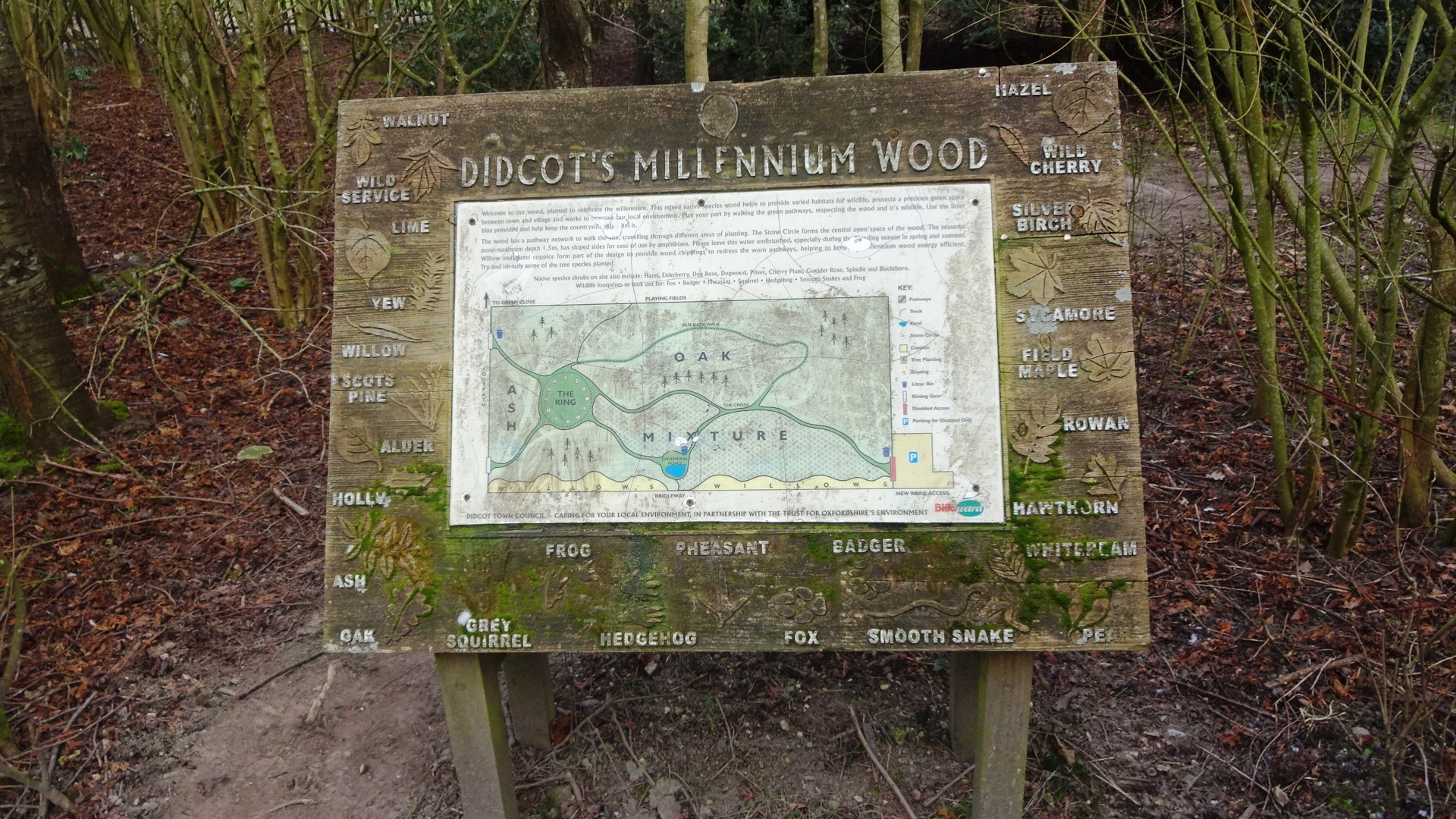
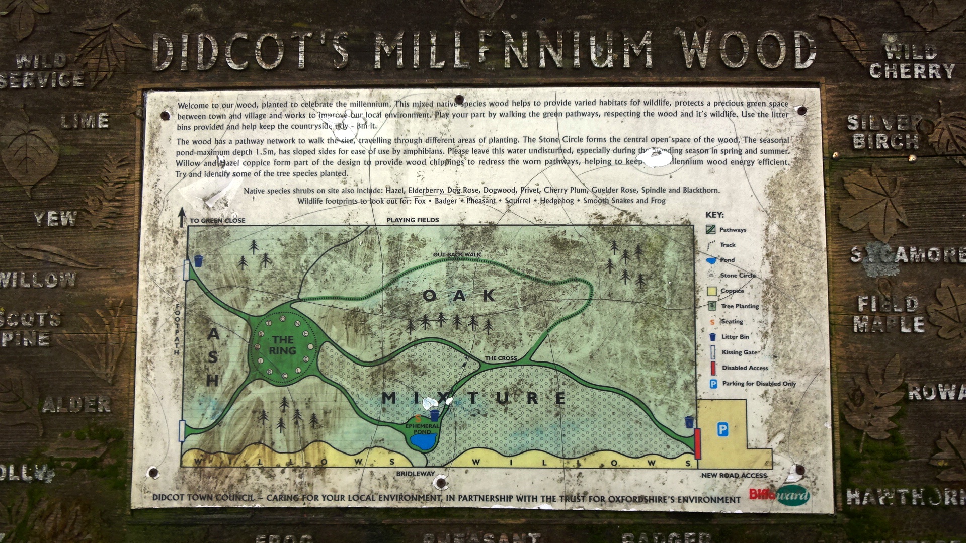
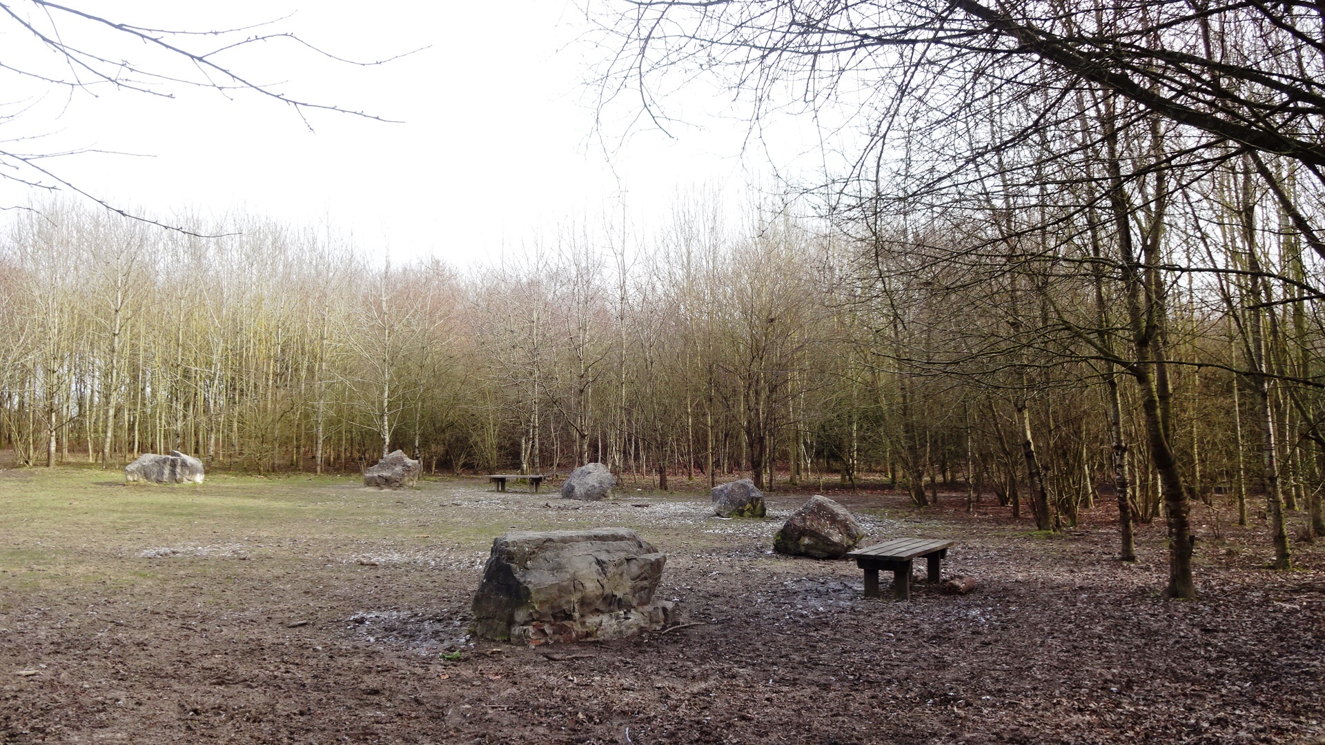
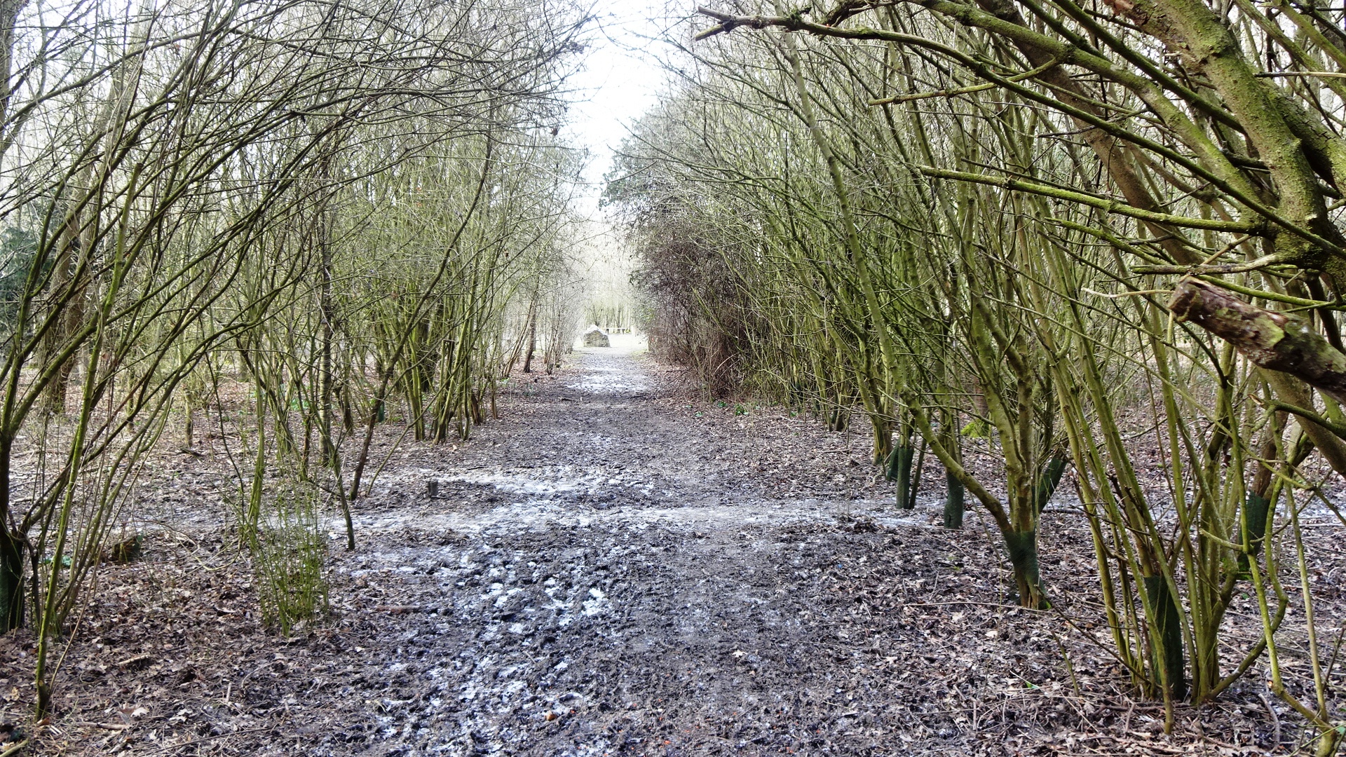
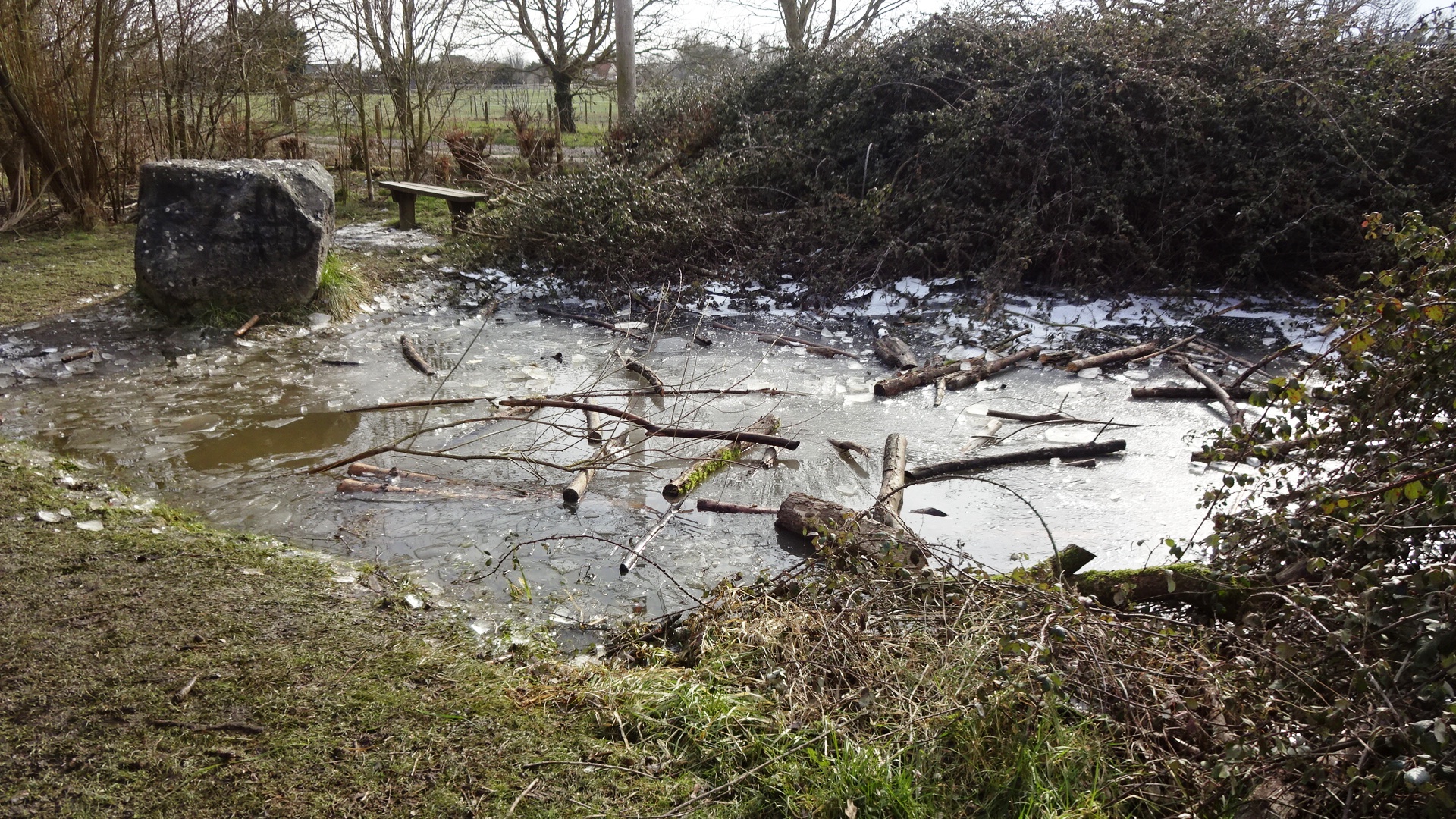
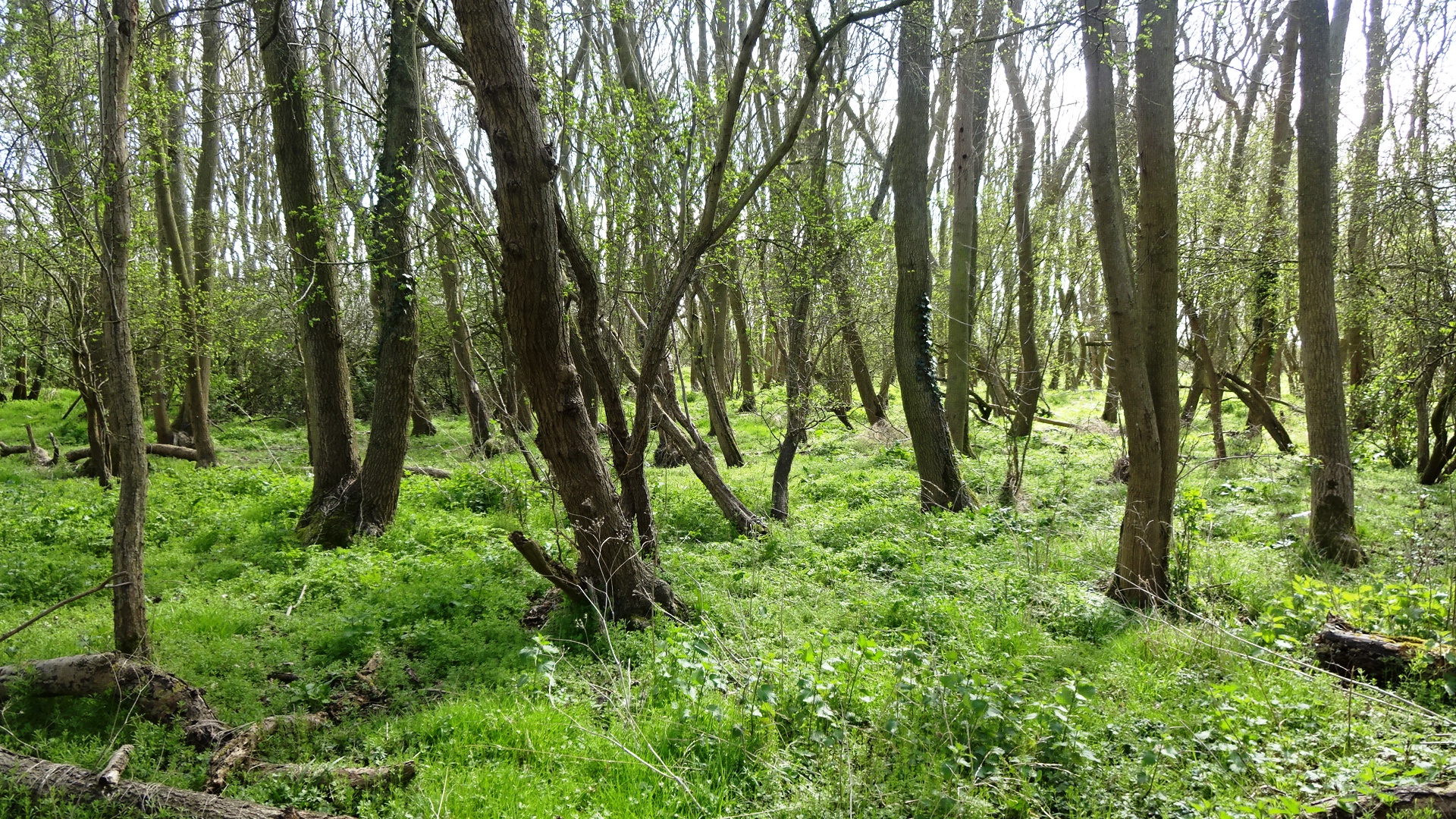
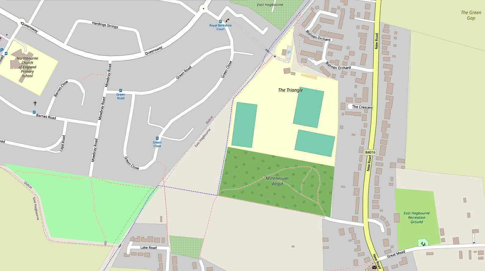
MILLENIUM WOOD Located in the 'Hagbourne Triangle to the south of Didcot, the Millenium Wood can be accessed from Green Close on Oxfordshire footpath 189/13 or the footpath along the former Didcot, Newbury and Southampton Railway cycle path (also known as the Linear Park) then 197/4 south, or via east-west footpath 197/5 which can be accessed from Mowbray Road. This relatively young wood has been growing for over 20 years now, and has started to fill out, with a canopy forming over many of the footpaths. Paths can be muddy after rain and in winter. It is a mixed deciduous wood, including native species of shrub. Near the centre is a stone circle, and to the south is an ephemeral pond whose level depends on the extent of recent rainfall. (This is the only wood that doesn't appear on other pages of this website.)
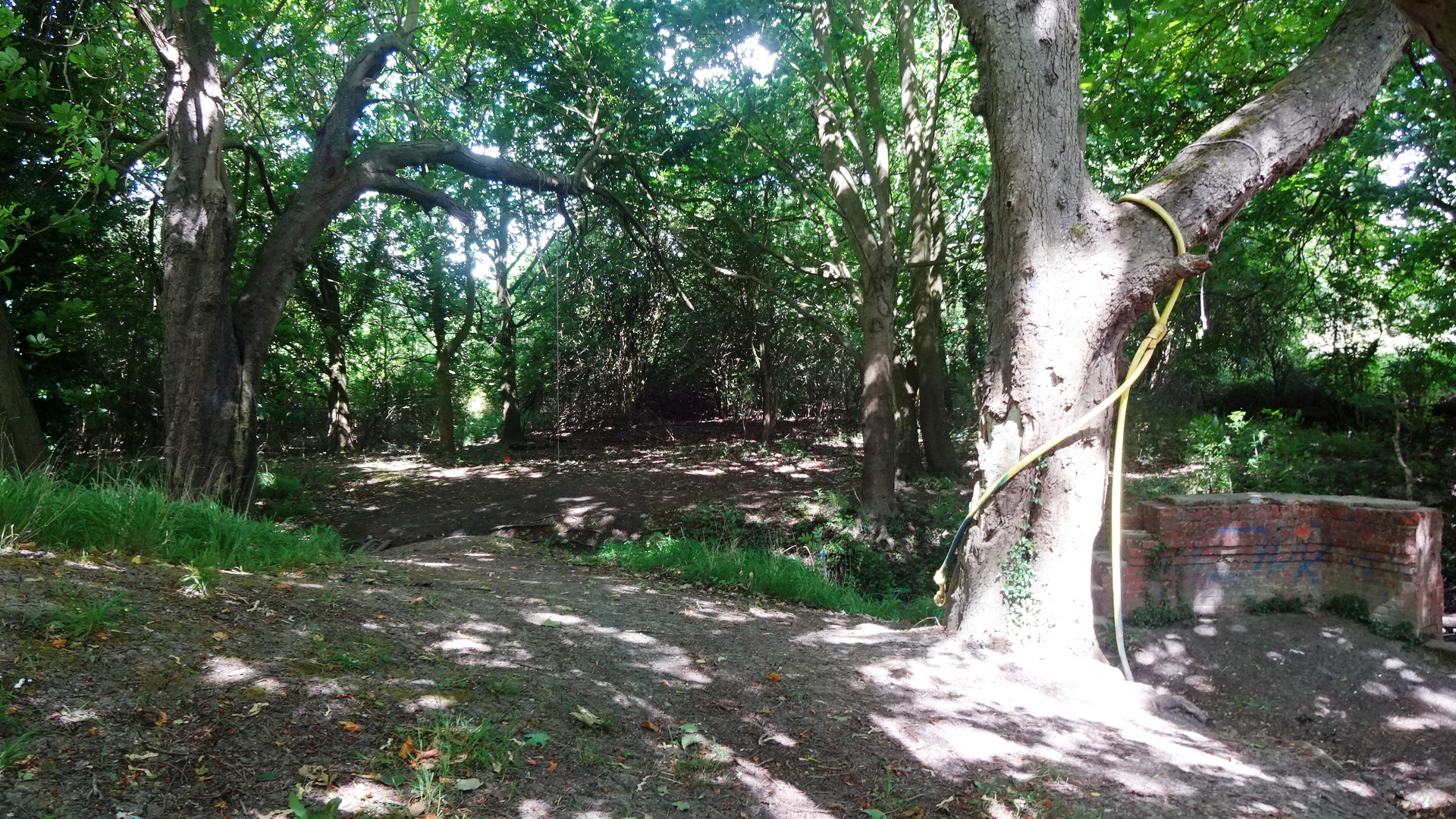
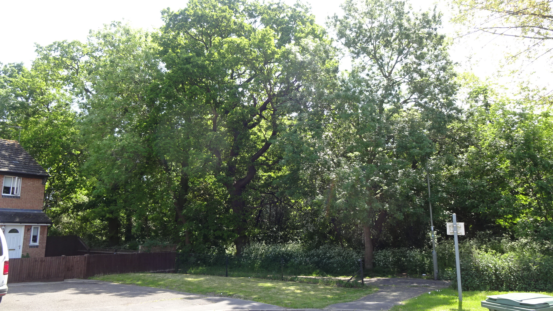
WILLOWBROOK WOOD In the midst of current house construction works, southwest of Pearith Farm, is a medium-sized wood with no known name. The wood, protected by a TPO, contains mixed species such as ash, oak and willow. It is likely that construction will preclude access for some time.
Click / tap pins or zoom in to see wood identity
Click icon at top left of map header to list and select woods
To switch to satellite view, with the slider open, scroll down and click the square satellite icon.
To view the map full-screen, click the top right 'expand' icon.
Click / tap photos to enlarge / close
Click / tap to go to a map for each tree:
Public access Inaccessible
A private wood in Basil Hill Road
Viewable along the footpath to South Moreton
A private wood to the east of Oakend Lea
Fulscot copse TPO: 03S08
Combined modern / 1888-1913
OS 6 inch to 1 mile
A small wood north of the Furlongs estate
An undiscovered gem on the northern fringe of GWP
Accessible from footpath N of Trent Road
Access from Mowbray Road or Green Close
A currently inaccessible wood on the new Willowbrook estate
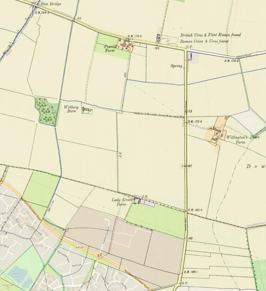
Map of Willowbrook before.
Combined modern/1888-1913
OS 6 inch to 1 mile